UN/LOCODE hub · United Kingdom
GBPLY
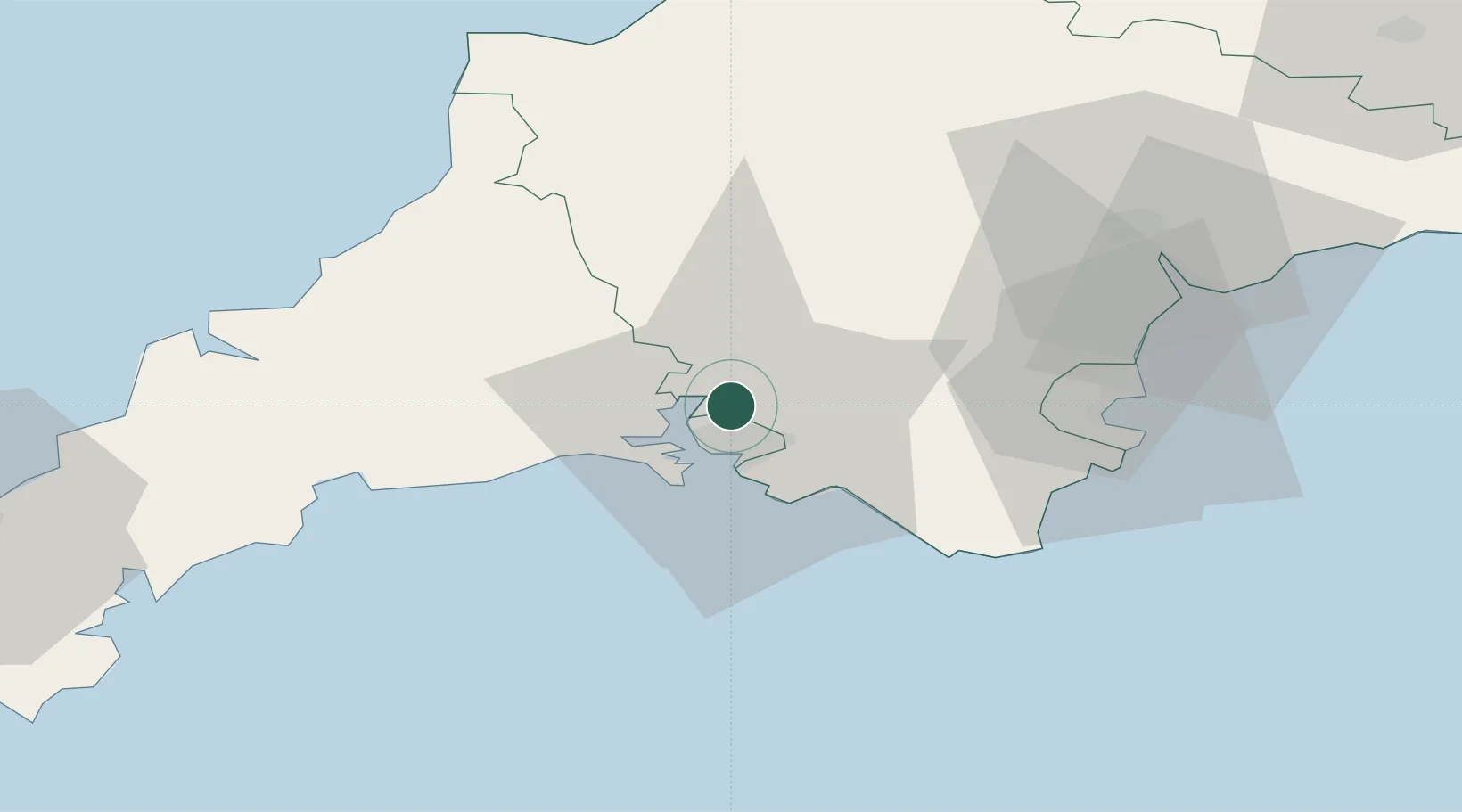
Plymouth
50.4439°, -4.1225°
260,203
Population
2
Transport functions
Transport Functions
Port
Airport
Hub Profile
Place type
Provincial seat
Region
England
Population
260,203
Time zone
Europe/London
Elevation
14 m
Logistics facilities
1
Location
Nearby Logistics Neighbours
Cities
- 1Plympton7 km
- 2Torpoint10 km
- 3Devonport10 km
- 4Walkhampton11 km
- 5Newton Ferrers16 km
Ports
- 1Dartmouth Harbour37 km
- 2Fowey Harbour38 km
- 3Torquay Harbour42 km
- 4Par42 km
- 5Brixham Harbour43 km
Airports
Trade Zones
DatabookThe Record of Consolidated Knowledge
United Kingdom beyond logistics?