UN/LOCODE hub · United Kingdom
GBPLO

Plockton

57.3333°, -5.6500°
3
Transport functions

Transport Functions

Port
Rail
Road
Plockton is also a profiled seaport →
UN/LOCODE

Hub Profile

Place type
Populated place
GeoNames
Region
Scotland
GeoNames
Time zone
Europe/London
GeoNames
Elevation
7 m
GeoNames

Location

Location of GBPLO
Natural Earth 10m (public domain) · Scotland · GBPLO · 57.33, -5.65GoogleOSMYandex

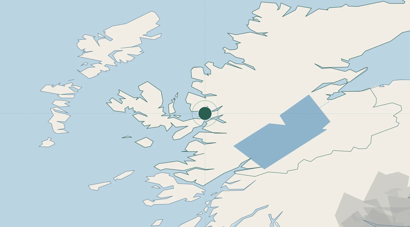
Nearby Logistics Neighbours

Cities
  1. 1Balmacara6 km
  2. 2Stromeferry7 km
  3. 3Carron8 km
  4. 4Kishorn8 km
  5. 5Kyle of Lochalsh8 km
Nearest neighbours — logibook spatial index (haversine) over the source coordinates
Ports
  1. 1Kyle Of Lochalsh7 km
  2. 2Kyleakin9 km
  3. 3Broadford Bay17 km
  4. 4Portree Harbor34 km
  5. 5Mallaig38 km
Nearest neighbours — logibook spatial index (haversine) over the source coordinates
Airports
  1. 1Oban Airport98 km
  2. 2Inverness Airport99 km
  3. 3Coll Airport100 km
  4. 4Benbecula Airport104 km
  5. 5Stornoway Airport106 km
Nearest neighbours — logibook spatial index (haversine) over the source coordinates
Trade Zones
  1. 1Prestwick Airport Free Zone213 km
  2. 2Carlisle Kingmoor Park Enterprise Zone314 km
  3. 3North Eastern Enterprise Zone363 km
  4. 4Isle of Man Free Zone and Business Park366 km
  5. 5Tees Valley Enterprise Zone412 km
Nearest neighbours — logibook spatial index (haversine) over the source coordinates
DatabookThe Record of Consolidated Knowledge
United Kingdom beyond logistics?
Browse databook

All Sources

LocationsUN/LOCODE
UN/LOCODE — free
Portsthe NGA World Port Index
Public domain (US gov)
AirportsOurAirports
Public domain
Trade Zonesthe World Bank SEZ database
CC BY 4.0
Trade ZonesOpen Zone Map
CC BY
← United Kingdom locations