Transport Functions
Port
Road
Hub Profile
Place type
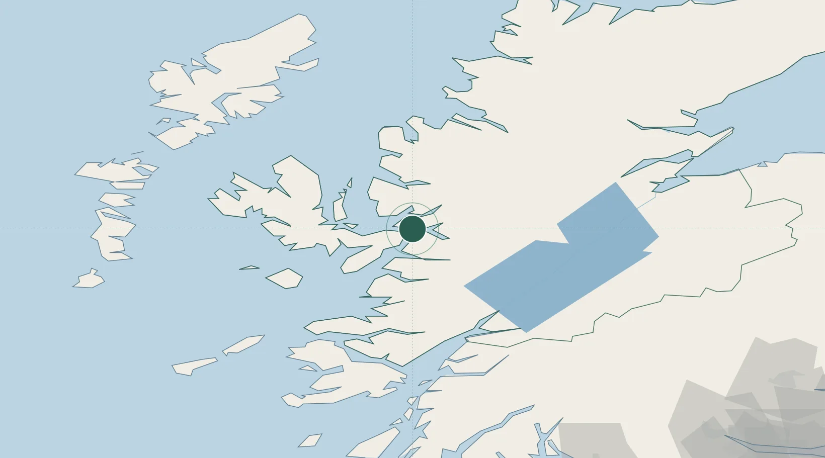
Populated place
Region
Scotland
Time zone
Europe/London
Elevation
32 m
Location
Nearby Logistics Neighbours
Cities
- 1Plockton6 km
- 2Kyle of Lochalsh6 km
- 3Kyleakin7 km
- 4Glenelg8 km
- 5Stromeferry9 km
Ports
- 1Plockton6 km
- 2Kyle Of Lochalsh6 km
- 3Kyleakin7 km
- 4Broadford Bay17 km
- 5Mallaig34 km
Airports
- 1Oban Airport92 km
- 2Coll Airport97 km
- 3Inverness Airport98 km
- 4Benbecula Airport107 km
- 5Stornoway Airport112 km
Trade Zones
DatabookThe Record of Consolidated Knowledge
United Kingdom beyond logistics?