Transport Functions
Port
Hub Profile
Place type
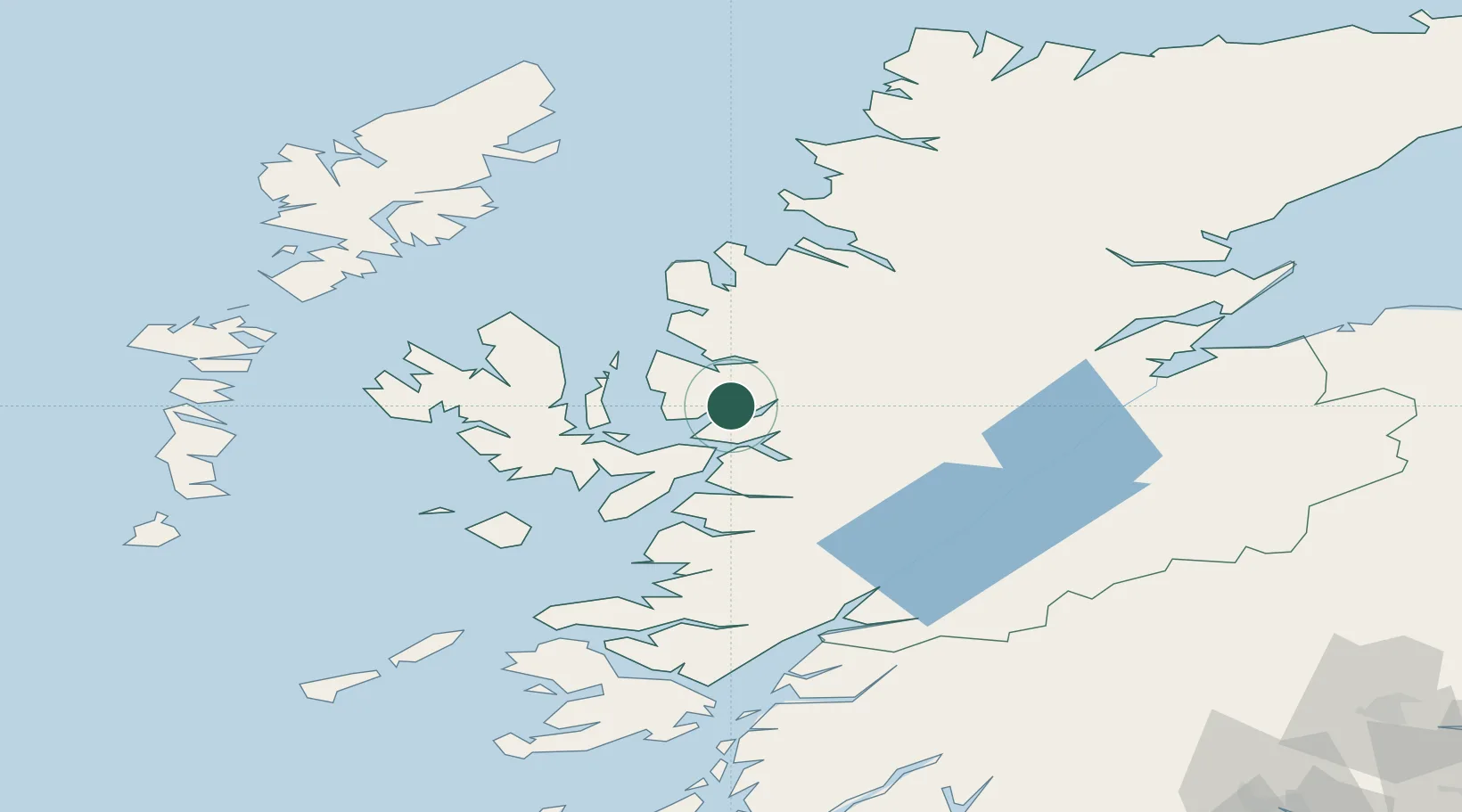
Populated place
Region
Scotland
Population
2,530
Time zone
Europe/London
Elevation
8 m
Location
Nearby Logistics Neighbours
Cities
- 1Kishorn1 km
- 2Stromeferry7 km
- 3Lochcarron7 km
- 4Plockton8 km
- 5Strathcarron12 km
Ports
- 1Plockton8 km
- 2Kyle Of Lochalsh15 km
- 3Kyleakin17 km
- 4Broadford Bay24 km
- 5Gairloch36 km
Airports
- 1Inverness Airport94 km
- 2Stornoway Airport101 km
- 3Oban Airport105 km
- 4Benbecula Airport106 km
- 5Coll Airport108 km
Trade Zones
DatabookThe Record of Consolidated Knowledge
United Kingdom beyond logistics?