UN/LOCODE hub · United Kingdom
GBZDQ

Milton Bridge

56.4000°, -3.3167°
1
Transport functions

Transport Functions

Multimodal
UN/LOCODE

Hub Profile

Place type
Populated place
GeoNames
Region
Scotland
GeoNames
Time zone
Europe/London
GeoNames
Elevation
178 m
GeoNames

Location

Location of GBZDQ
Natural Earth 10m (public domain) · Scotland · GBZDQ · 56.40, -3.32GoogleOSMYandex

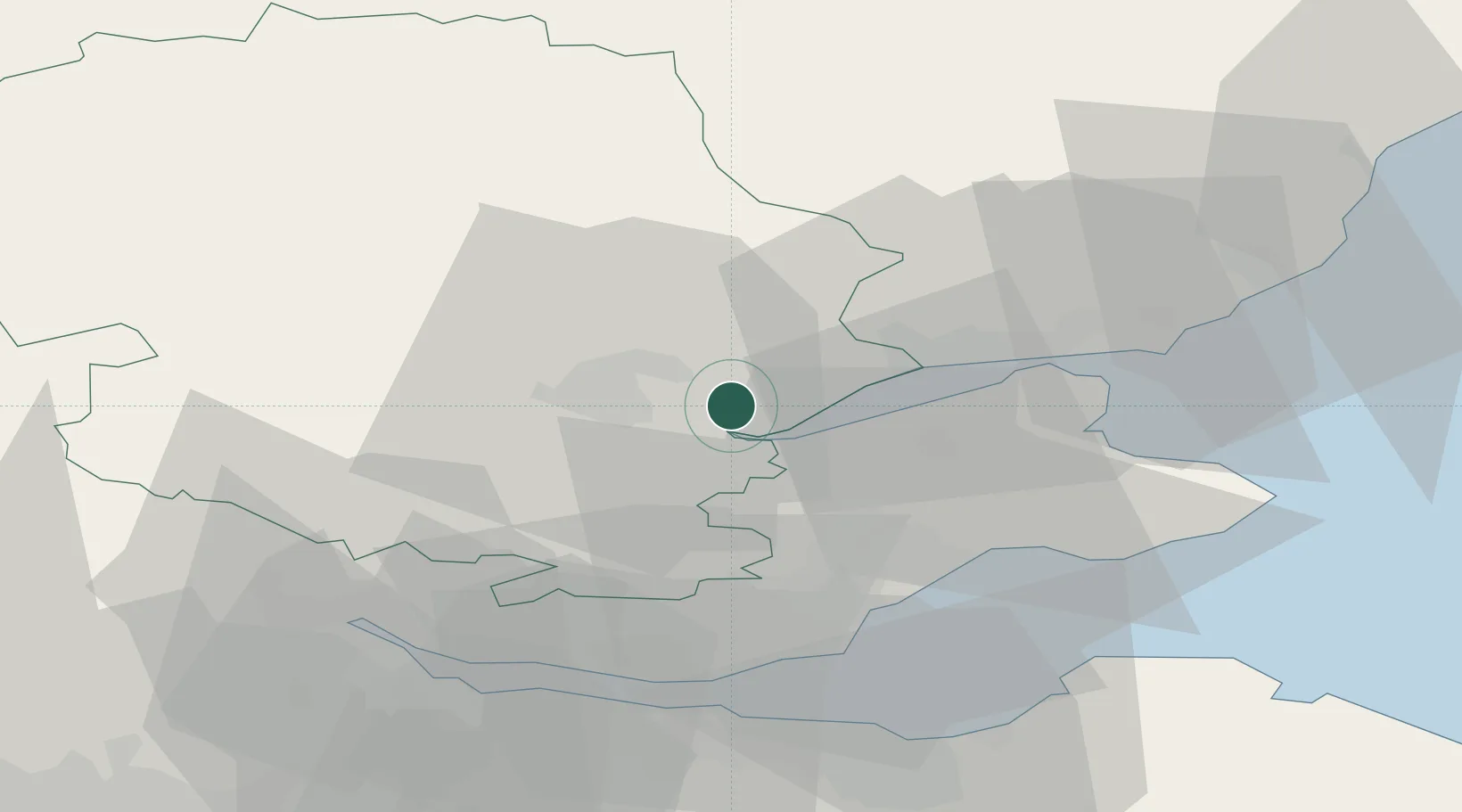
Nearby Logistics Neighbours

Cities
  1. 1Perth7 km
  2. 2Inchture10 km
  3. 3Lasswade11 km
  4. 4Scotlandwell22 km
  5. 5Dundee24 km
Nearest neighbours — logibook spatial index (haversine) over the source coordinates
Ports
  1. 1Perth8 km
  2. 2Dundee24 km
  3. 3Methil31 km
  4. 4Burntisland39 km
  5. 5Braefoot Bay Terminal41 km
Nearest neighbours — logibook spatial index (haversine) over the source coordinates
Airports
  1. 1Dundee Airport19 km
  2. 2Leuchars Station Airfield28 km
  3. 3Edinburgh Airport50 km
  4. 4Glasgow Airport91 km
  5. 5Aberdeen International Airport112 km
Nearest neighbours — logibook spatial index (haversine) over the source coordinates
Trade Zones
  1. 1Prestwick Airport Free Zone128 km
  2. 2Carlisle Kingmoor Park Enterprise Zone164 km
  3. 3North Eastern Enterprise Zone192 km
  4. 4Tees Valley Enterprise Zone241 km
  5. 5Isle of Man Free Zone and Business Park270 km
Nearest neighbours — logibook spatial index (haversine) over the source coordinates
DatabookThe Record of Consolidated Knowledge
United Kingdom beyond logistics?
Browse databook

All Sources

LocationsUN/LOCODE
UN/LOCODE — free
Portsthe NGA World Port Index
Public domain (US gov)
AirportsOurAirports
Public domain
Trade Zonesthe World Bank SEZ database
CC BY 4.0
Trade ZonesOpen Zone Map
CC BY
← United Kingdom locations