UN/LOCODE hub · United Kingdom
GBPER

Perth

56.4000°, -3.4333°
47,350
Population
2
Transport functions

Transport Functions

Port
Airport
Perth is also a profiled seaport →
UN/LOCODE

Hub Profile

Place type
Provincial seat
GeoNames
Region
Scotland
GeoNames
Population
47,350
GeoNames
Time zone
Europe/London
GeoNames
Elevation
10 m
GeoNames

Location

Location of GBPER
Natural Earth 10m (public domain) · Scotland · GBPER · 56.40, -3.43GoogleOSMYandex

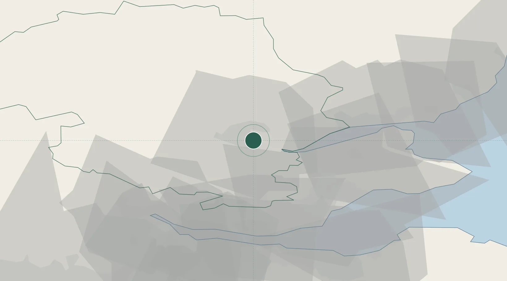
Nearby Logistics Neighbours

Cities
  1. 1Milton Bridge7 km
  2. 2Inchture17 km
  3. 3Lasswade17 km
  4. 4Scotlandwell24 km
  5. 5Crieff25 km
Nearest neighbours — logibook spatial index (haversine) over the source coordinates
Ports
  1. 1Dundee31 km
  2. 2Methil36 km
  3. 3Burntisland41 km
  4. 4Braefoot Bay Terminal41 km
  5. 5Rosyth43 km
Nearest neighbours — logibook spatial index (haversine) over the source coordinates
Airports
  1. 1Dundee Airport26 km
  2. 2Leuchars Station Airfield35 km
  3. 3Edinburgh Airport50 km
  4. 4Glasgow Airport85 km
  5. 5Aberdeen International Airport117 km
Nearest neighbours — logibook spatial index (haversine) over the source coordinates
Trade Zones
  1. 1Prestwick Airport Free Zone123 km
  2. 2Carlisle Kingmoor Park Enterprise Zone166 km
  3. 3North Eastern Enterprise Zone196 km
  4. 4Tees Valley Enterprise Zone245 km
  5. 5Isle of Man Free Zone and Business Park268 km
Nearest neighbours — logibook spatial index (haversine) over the source coordinates
DatabookThe Record of Consolidated Knowledge
United Kingdom beyond logistics?
Browse databook

All Sources

LocationsUN/LOCODE
UN/LOCODE — free
LocationsGeoNames
CC BY 4.0
Portsthe NGA World Port Index
Public domain (US gov)
AirportsOurAirports
Public domain
Trade Zonesthe World Bank SEZ database
CC BY 4.0
Trade ZonesOpen Zone Map
CC BY
← United Kingdom locations