Transport Functions
Multimodal
Hub Profile
Place type
Populated place
Region
Scotland
Time zone
Europe/London
Elevation
115 m
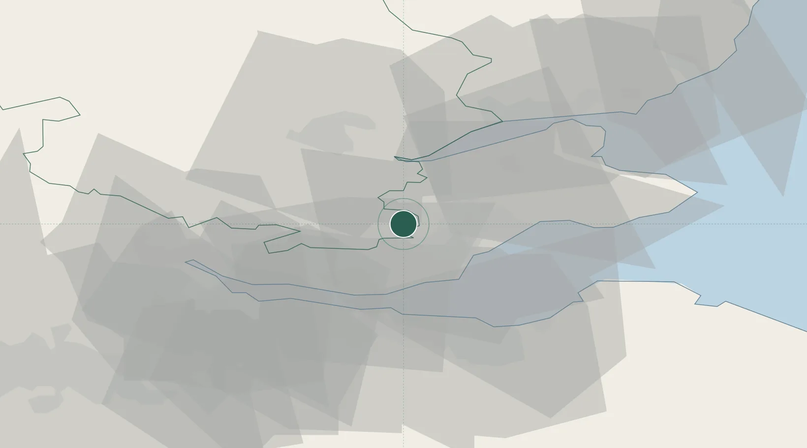
Location
Nearby Logistics Neighbours
Cities
- 1Ballingry6 km
- 2Mossmoran13 km
- 3Kirkcaldy13 km
- 4Dysart14 km
- 5West Wemyss15 km
Ports
- 1Burntisland17 km
- 2Braefoot Bay Terminal19 km
- 3Methil19 km
- 4Rosyth22 km
- 5Hound Point Terminal23 km
Airports
- 1Edinburgh Airport28 km
- 2Dundee Airport33 km
- 3Leuchars Station Airfield33 km
- 4Glasgow Airport79 km
- 5Glasgow Prestwick Airport111 km
Trade Zones
DatabookThe Record of Consolidated Knowledge
United Kingdom beyond logistics?