UN/LOCODE hub · United Kingdom
GBGLG

Glenuig

56.8333°, -5.8167°
1
Transport functions

Transport Functions

Port
UN/LOCODE

Hub Profile

Region
HLD
GeoNames

Location

Location of GBGLG
Natural Earth 10m (public domain) · HLD · GBGLG · 56.83, -5.82GoogleOSMYandex

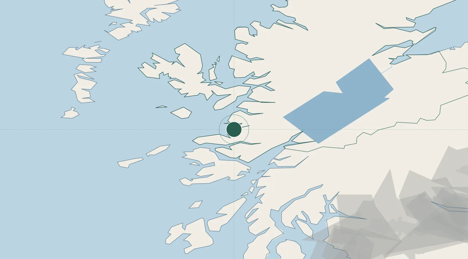
Nearby Logistics Neighbours

Cities
  1. 1Arisaig8 km
  2. 2Salen15 km
  3. 3Mallaig19 km
  4. 4Galmisdale, Eigg20 km
  5. 5Eigg23 km
Nearest neighbours — logibook spatial index (haversine) over the source coordinates
Ports
  1. 1Mallaig19 km
  2. 2Tobermory29 km
  3. 3Lochaline32 km
  4. 4Glensanda34 km
  5. 5Craignure41 km
Nearest neighbours — logibook spatial index (haversine) over the source coordinates
Airports
  1. 1Oban Airport48 km
  2. 2Coll Airport55 km
  3. 3Tiree Airport74 km
  4. 4Colonsay Airstrip90 km
  5. 5Barra Airport101 km
Nearest neighbours — logibook spatial index (haversine) over the source coordinates
Trade Zones
  1. 1Prestwick Airport Free Zone165 km
  2. 2Carlisle Kingmoor Park Enterprise Zone276 km
  3. 3Isle of Man Free Zone and Business Park314 km
  4. 4North Eastern Enterprise Zone334 km
  5. 5Tees Valley Enterprise Zone382 km
Nearest neighbours — logibook spatial index (haversine) over the source coordinates
DatabookThe Record of Consolidated Knowledge
United Kingdom beyond logistics?
Browse databook

All Sources

LocationsUN/LOCODE
UN/LOCODE — free
Portsthe NGA World Port Index
Public domain (US gov)
AirportsOurAirports
Public domain
Trade Zonesthe World Bank SEZ database
CC BY 4.0
Trade ZonesOpen Zone Map
CC BY
← United Kingdom locations