UN/LOCODE hub · United Kingdom
GBAMD

Armadale, Isle of Skye

57.0500°, -5.9000°
2
Transport functions

Transport Functions

Port
Road
UN/LOCODE

Hub Profile

Region
HLD
GeoNames

Location

Location of GBAMD
Natural Earth 10m (public domain) · HLD · GBAMD · 57.05, -5.90GoogleOSMYandex

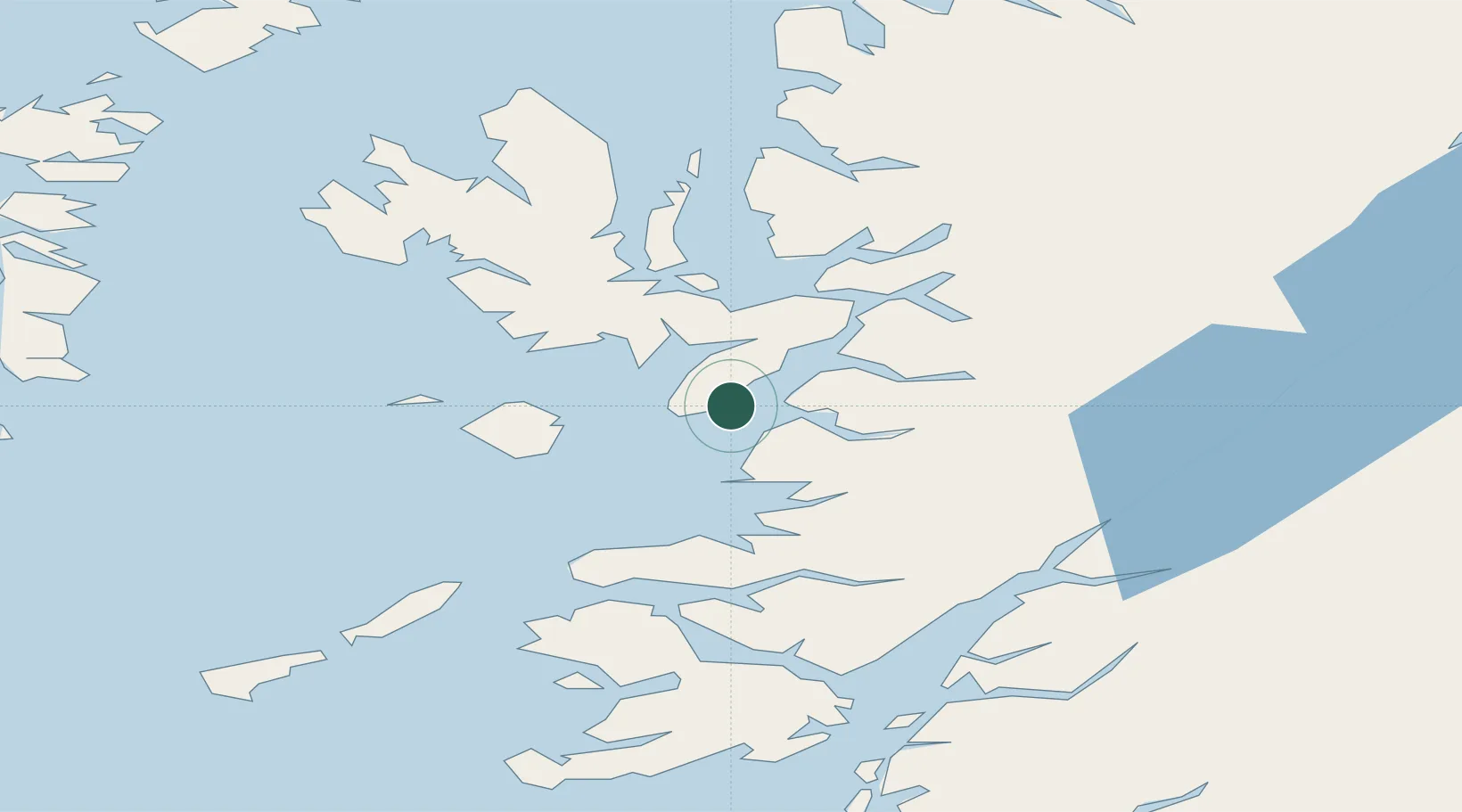
Nearby Logistics Neighbours

Cities
  1. 1Sleat0 km
  2. 2Mallaig7 km
  3. 3Inverie13 km
  4. 4Strathaird16 km
  5. 5Elgol, Isle of Skye16 km
Nearest neighbours — logibook spatial index (haversine) over the source coordinates
Ports
  1. 1Mallaig8 km
  2. 2Broadford Bay22 km
  3. 3Kyleakin26 km
  4. 4Kyle Of Lochalsh28 km
  5. 5Plockton35 km
Nearest neighbours — logibook spatial index (haversine) over the source coordinates
Airports
  1. 1Coll Airport66 km
  2. 2Oban Airport72 km
  3. 3Tiree Airport85 km
  4. 4Barra Airport93 km
  5. 5Benbecula Airport100 km
Nearest neighbours — logibook spatial index (haversine) over the source coordinates
Trade Zones
  1. 1Prestwick Airport Free Zone189 km
  2. 2Carlisle Kingmoor Park Enterprise Zone298 km
  3. 3Isle of Man Free Zone and Business Park339 km
  4. 4North Eastern Enterprise Zone353 km
  5. 5Tees Valley Enterprise Zone401 km
Nearest neighbours — logibook spatial index (haversine) over the source coordinates
DatabookThe Record of Consolidated Knowledge
United Kingdom beyond logistics?
Browse databook

All Sources

LocationsUN/LOCODE
UN/LOCODE — free
Portsthe NGA World Port Index
Public domain (US gov)
AirportsOurAirports
Public domain
Trade Zonesthe World Bank SEZ database
CC BY 4.0
Trade ZonesOpen Zone Map
CC BY
← United Kingdom locations