Transport Functions
Port
Hub Profile
Place type
Populated place
Region
Scotland
Time zone
Europe/London
Elevation
17 m
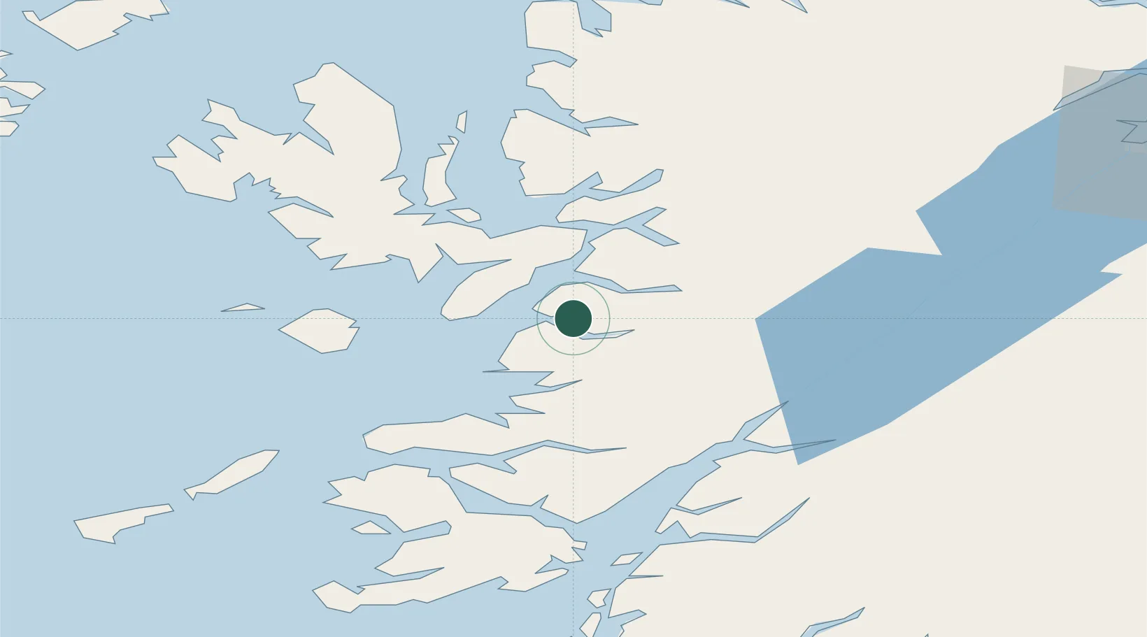
Location
Nearby Logistics Neighbours
Cities
- 1Mallaig10 km
- 2Armadale, Isle of Skye13 km
- 3Sleat13 km
- 4Arisaig18 km
- 5Glenelg21 km
Ports
- 1Mallaig9 km
- 2Kyleakin26 km
- 3Broadford Bay27 km
- 4Kyle Of Lochalsh28 km
- 5Plockton33 km
Airports
- 1Oban Airport66 km
- 2Coll Airport74 km
- 3Tiree Airport94 km
- 4Barra Airport107 km
- 5Benbecula Airport113 km
Trade Zones
DatabookThe Record of Consolidated Knowledge
United Kingdom beyond logistics?