Transport Functions
Port
Rail
Road
Hub Profile
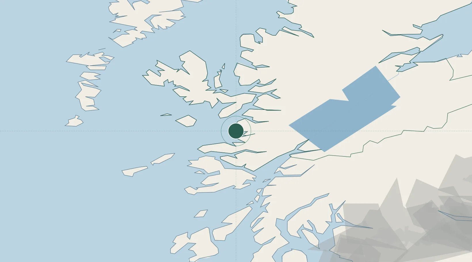
Place type
Populated place
Region
Scotland
Time zone
Europe/London
Elevation
12 m
Location
Nearby Logistics Neighbours
Cities
- 1Glenuig8 km
- 2Mallaig11 km
- 3Armadale, Isle of Skye17 km
- 4Sleat17 km
- 5Galmisdale, Eigg17 km
Ports
- 1Mallaig11 km
- 2Tobermory34 km
- 3Broadford Bay39 km
- 4Lochaline39 km
- 5Kyleakin41 km
Airports
- 1Oban Airport56 km
- 2Coll Airport57 km
- 3Tiree Airport77 km
- 4Colonsay Airstrip97 km
- 5Barra Airport98 km
Trade Zones
DatabookThe Record of Consolidated Knowledge
United Kingdom beyond logistics?