Transport Functions
Port
Hub Profile
Place type
Populated place
Region
Scotland
Population
780
Time zone
Europe/London
Elevation
11 m
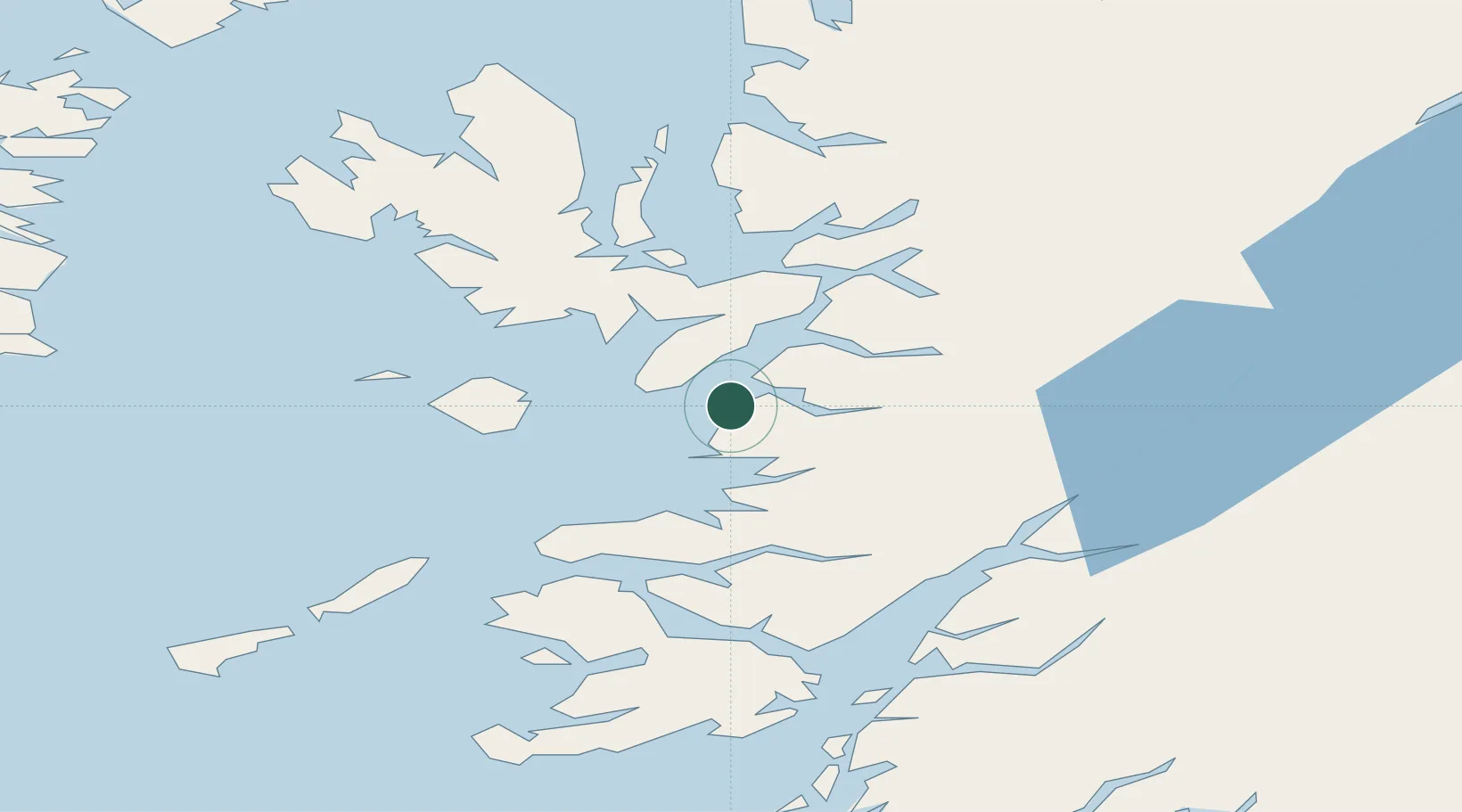
Location
Nearby Logistics Neighbours
Cities
- 1Armadale, Isle of Skye7 km
- 2Sleat7 km
- 3Inverie10 km
- 4Arisaig11 km
- 5Glenuig19 km
Ports
- 1Broadford Bay28 km
- 2Kyleakin30 km
- 3Kyle Of Lochalsh32 km
- 4Plockton39 km
- 5Tobermory45 km
Airports
- 1Coll Airport65 km
- 2Oban Airport65 km
- 3Tiree Airport84 km
- 4Barra Airport98 km
- 5Benbecula Airport106 km
Trade Zones
DatabookThe Record of Consolidated Knowledge
United Kingdom beyond logistics?