Transport Functions
Port
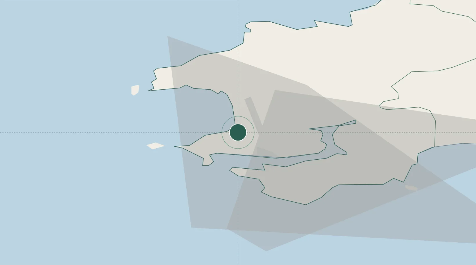
Hub Profile
Place type
Populated place
Region
Wales
Time zone
Europe/London
Elevation
45 m
Location
Nearby Logistics Neighbours
Cities
- 1Milford Haven7 km
- 2Steynton8 km
- 3Dale Roads8 km
- 4Solva (Solfach)13 km
- 5Neyland14 km
Ports
- 1Milford Haven7 km
- 2Fishguard29 km
- 3Swansea81 km
- 4Neath89 km
- 5Port Talbot91 km
Airports
- 1Haverfordwest Airport12 km
- 2Swansea Airport73 km
- 3Lundy Island Helipad73 km
- 4Hartland Point Heliport92 km
- 5Royal Marines Base Chivenor100 km
Trade Zones
DatabookThe Record of Consolidated Knowledge
United Kingdom beyond logistics?