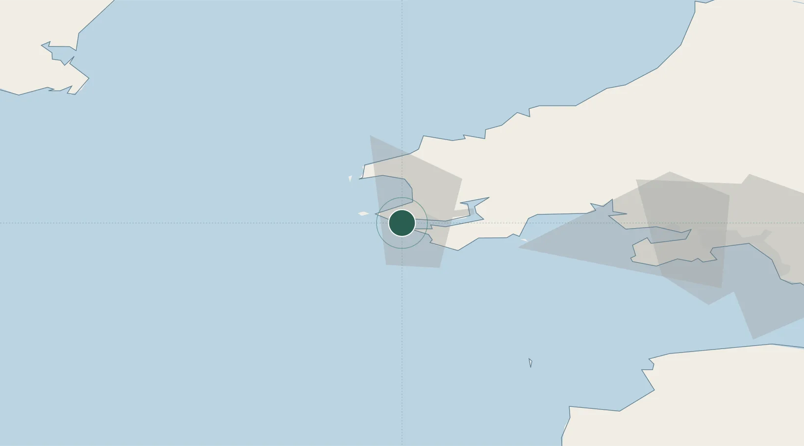
UN/LOCODE hub · United Kingdom
GBDOS

Dale Roads

51.7000°, -5.1500°
1
Transport functions

Transport Functions

Port
UN/LOCODE

Location

Location of GBDOS
Natural Earth 10m (public domain) · Pembrokeshire · GBDOS · 51.70, -5.15GoogleOSMYandex

Nearby Logistics Neighbours

Cities
  1. 1Little Haven8 km
  2. 2Milford Haven8 km
  3. 3Steynton9 km
  4. 4Neyland15 km
  5. 5Pembroke18 km
Nearest neighbours — logibook spatial index (haversine) over the source coordinates
Ports
  1. 1Milford Haven8 km
  2. 2Fishguard37 km
  3. 3Swansea83 km
  4. 4Neath91 km
  5. 5Port Talbot93 km
Nearest neighbours — logibook spatial index (haversine) over the source coordinates
Airports
  1. 1Haverfordwest Airport20 km
  2. 2Lundy Island Helipad68 km
  3. 3Swansea Airport75 km
  4. 4Hartland Point Heliport88 km
  5. 5Royal Marines Base Chivenor97 km
Nearest neighbours — logibook spatial index (haversine) over the source coordinates
Trade Zones
  1. 1Cornwall Newquay Aerohub Enterprise Zone142 km
  2. 2Exeter & East Devon Enterprise Zone160 km
  3. 3Oceansgate Plymouth163 km
  4. 4Heart of the South West Enterprise Zone163 km
  5. 5Ceramics Valley173 km
Nearest neighbours — logibook spatial index (haversine) over the source coordinates
DatabookThe Record of Consolidated Knowledge
United Kingdom beyond logistics?
Browse databook

All Sources

LocationsUN/LOCODE
UN/LOCODE — free
Portsthe NGA World Port Index
Public domain (US gov)
AirportsOurAirports
Public domain
Trade Zonesthe World Bank SEZ database
CC BY 4.0
Trade ZonesOpen Zone Map
CC BY
← United Kingdom locations