Channel & Berth Profile
Pilotage, Tugs & Services
Pilotage compulsoryYES
Pilotage availableYES
Pilotage advisableYES
Local assistanceYES
Tug assistanceYES
Salvage tugsNO
Potable waterYES
Diesel bunkersYES
MedicalYES
Garbage disposalYES
Facilities & Capabilities
Container—
Ro-Ro—
Liquid bulk—
Dry bulk—
Oil terminal—
Break bulk—
Dry dockNO
RepairsNO
BunkeringYES
Rail link—
Dangerous cargo—
ISPS security—
Harbour Specifications
Harbour size
Small
Harbour type
River (Natural)
Shelter
Good
Water body
Bristol Channel; North Atlantic Ocean
Tidal range
5 m
Overhead limit
Yes
Pilotage
Yes
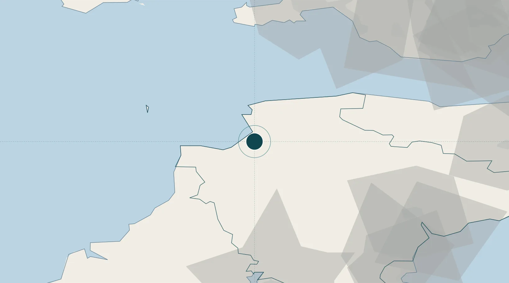
Location
Nearby Logistics Neighbours
Ports
- 1Watchet Harbor63 km
- 2Port Talbot67 km
- 3Swansea67 km
- 4Neath71 km
- 5Teignmouth Harbour73 km
Cities
- 1Appledore2 km
- 2Instow3 km
- 3Moretonhampstead7 km
- 4Wrafton10 km
- 5Tawstock11 km
Airports
- 1Royal Marines Base Chivenor7 km
- 2Hartland Point Heliport22 km
- 3Lundy Island Helipad36 km
- 4Swansea Airport64 km
- 5Exeter International Airport64 km
DatabookThe Record of Consolidated Knowledge
United Kingdom beyond logistics?