Transport Functions
Port
Road
Hub Profile
Region
ELS
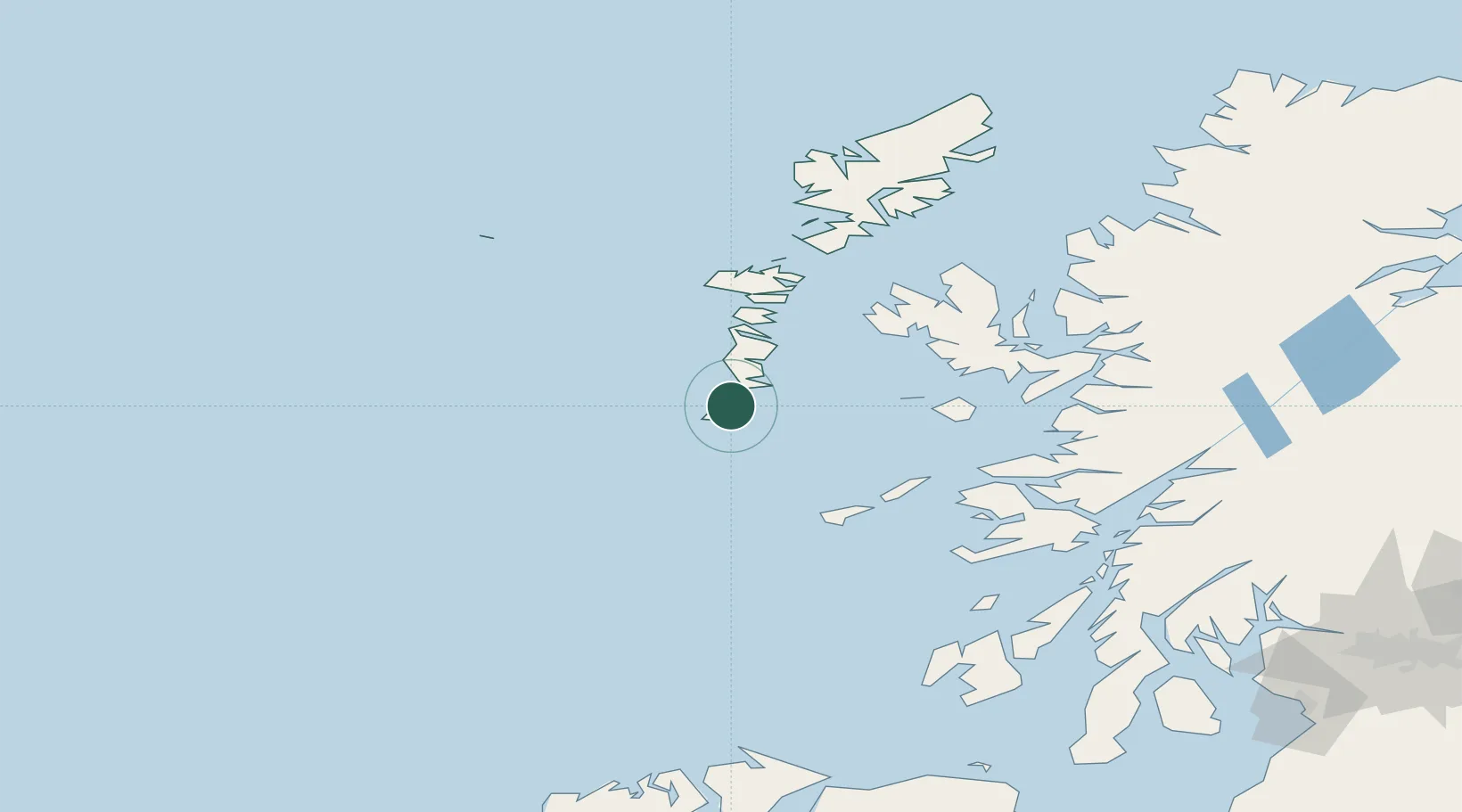
Location
Nearby Logistics Neighbours
Cities
- 1Ardveenish2 km
- 2Northbay2 km
- 3Brevig, Barra8 km
- 4Castlebay8 km
- 5Ceann a Gharaidh, Eriskay10 km
Ports
- 1Castle Bay8 km
- 2Lochboisdale16 km
- 3Lochmaddy67 km
- 4Portree Harbor86 km
- 5Uig90 km
Airports
- 1Barra Airport2 km
- 2Benbecula Airport52 km
- 3Tiree Airport67 km
- 4Coll Airport67 km
- 5Colonsay Airstrip129 km
Trade Zones
DatabookThe Record of Consolidated Knowledge
United Kingdom beyond logistics?