UN/LOCODE hub · United Kingdom
GBIMG

Islandmagee

54.8167°, -5.7000°
1
Transport functions

Transport Functions

Port
UN/LOCODE

Hub Profile

Region
ANT
GeoNames

Location

Location of GBIMG
Natural Earth 10m (public domain) · ANT · GBIMG · 54.82, -5.70GoogleOSMYandex

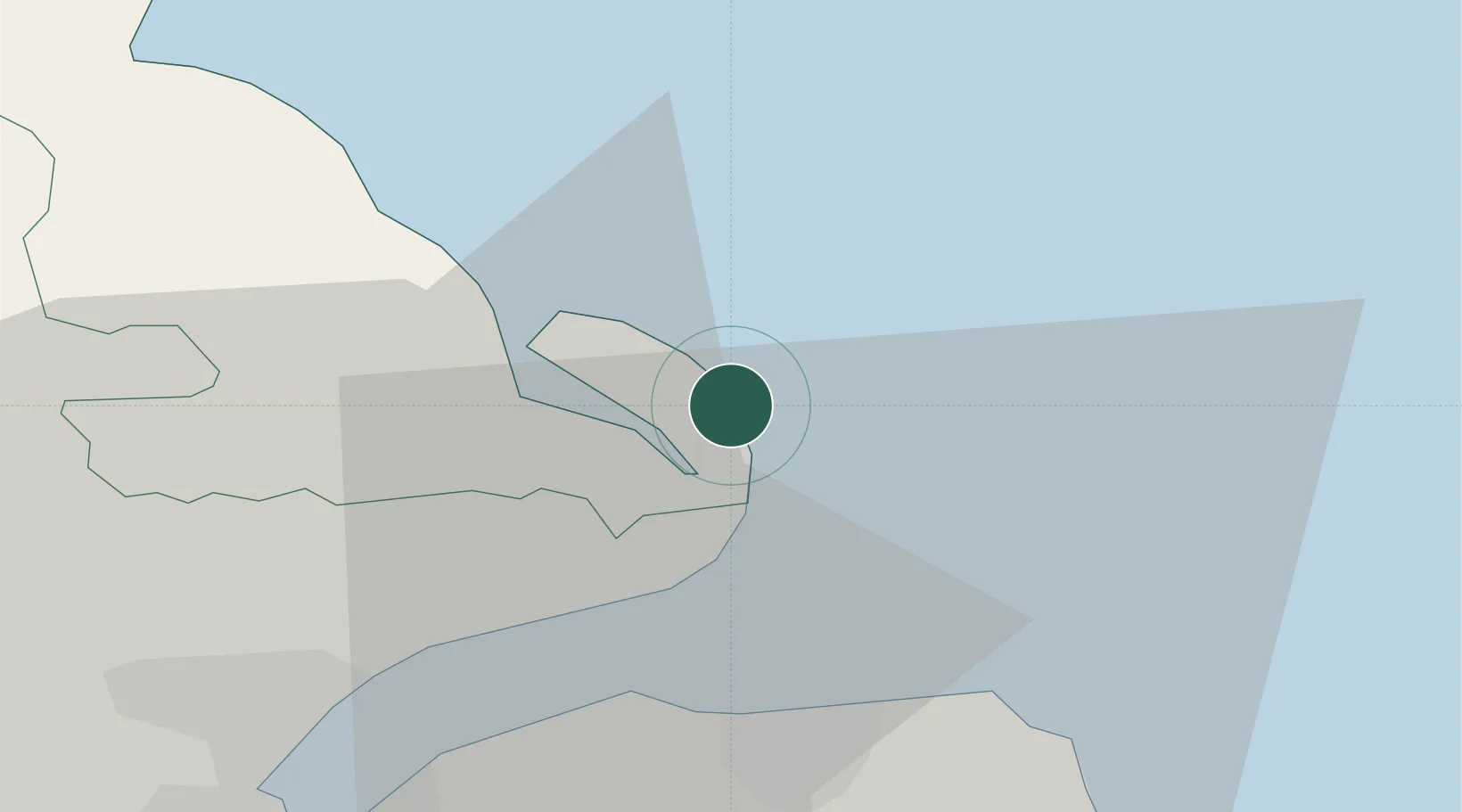
Nearby Logistics Neighbours

Cities
  1. 1Ballylumford6 km
  2. 2Whitehead7 km
  3. 3Acharacle11 km
  4. 4Cloghan Point/Carrickfergus15 km
  5. 5Groomsport18 km
Nearest neighbours — logibook spatial index (haversine) over the source coordinates
Ports
  1. 1Larne7 km
  2. 2Kilroot9 km
  3. 3Bangor19 km
  4. 4Belfast26 km
  5. 5Stranraer44 km
Nearest neighbours — logibook spatial index (haversine) over the source coordinates
Airports
  1. 1George Best Belfast City Airport25 km
  2. 2Belfast International Airport38 km
  3. 3Campbeltown Airport69 km
  4. 4City of Derry Airport97 km
  5. 5Islay Airport103 km
Nearest neighbours — logibook spatial index (haversine) over the source coordinates
Trade Zones
  1. 1Prestwick Airport Free Zone104 km
  2. 2Isle of Man Free Zone and Business Park106 km
  3. 3Dublin International Financial Services Centre167 km
  4. 4Carlisle Kingmoor Park Enterprise Zone176 km
  5. 5Blackpool Enterprise Zone208 km
Nearest neighbours — logibook spatial index (haversine) over the source coordinates
DatabookThe Record of Consolidated Knowledge
United Kingdom beyond logistics?
Browse databook

All Sources

LocationsUN/LOCODE
UN/LOCODE — free
Portsthe NGA World Port Index
Public domain (US gov)
AirportsOurAirports
Public domain
Trade Zonesthe World Bank SEZ database
CC BY 4.0
Trade ZonesOpen Zone Map
CC BY
← United Kingdom locations