UN/LOCODE hub · United Kingdom
GBGVL

Gulval

50.1333°, -5.5167°
1
Transport functions

Transport Functions

Port
UN/LOCODE

Hub Profile

Place type
Populated place
GeoNames
Region
England
GeoNames
Time zone
Europe/London
GeoNames
Elevation
29 m
GeoNames

Location

Location of GBGVL
Natural Earth 10m (public domain) · England · GBGVL · 50.13, -5.52GoogleOSMYandex

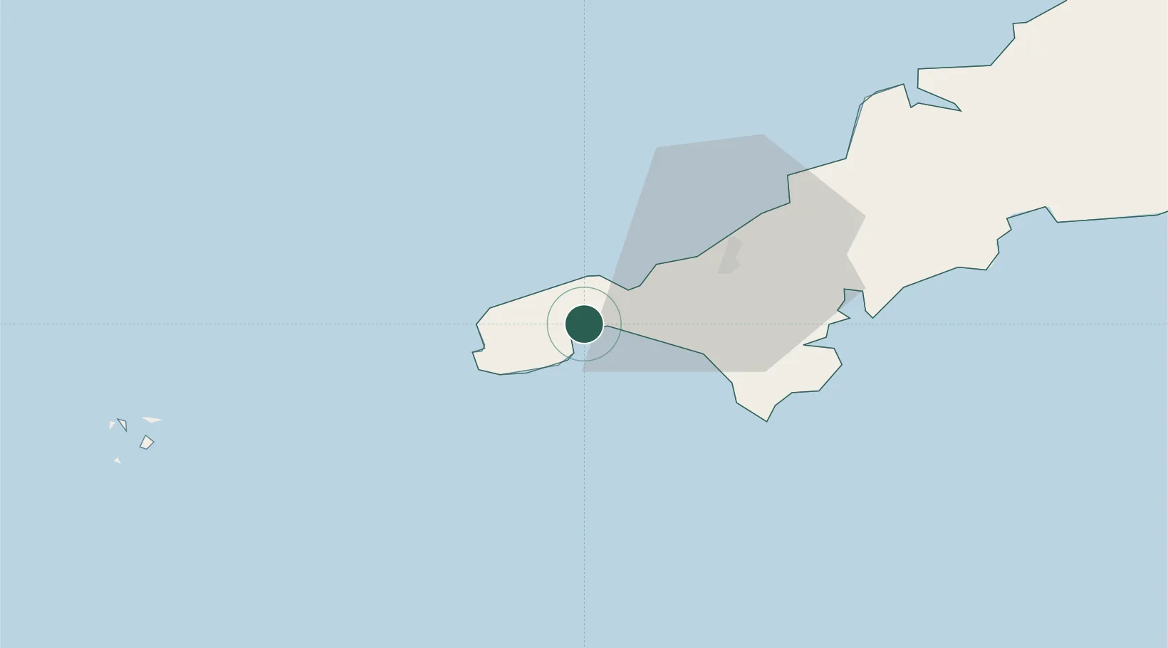
Nearby Logistics Neighbours

Cities
  1. 1Saint Michael's Mount4 km
  2. 2Mousehole6 km
  3. 3Penberth11 km
  4. 4Pendeen11 km
  5. 5Saint Just12 km
Nearest neighbours — logibook spatial index (haversine) over the source coordinates
Ports
  1. 1Penzance2 km
  2. 2Newlyn4 km
  3. 3Hayle9 km
  4. 4Falmouth Harbour32 km
  5. 5Mevagissey54 km
Nearest neighbours — logibook spatial index (haversine) over the source coordinates
Airports
  1. 1Penzance Heliport0 km
  2. 2Land's End Airport12 km
  3. 3RNAS Culdrose19 km
  4. 4Cornwall Airport Newquay50 km
  5. 5St. Mary's Airport61 km
Nearest neighbours — logibook spatial index (haversine) over the source coordinates
Trade Zones
  1. 1Cornwall Newquay Aerohub Enterprise Zone50 km
  2. 2Oceansgate Plymouth99 km
  3. 3Heart of the South West Enterprise Zone105 km
  4. 4Exeter & East Devon Enterprise Zone160 km
  5. 5Dorset Innovation Park239 km
Nearest neighbours — logibook spatial index (haversine) over the source coordinates
DatabookThe Record of Consolidated Knowledge
United Kingdom beyond logistics?
Browse databook

All Sources

LocationsUN/LOCODE
UN/LOCODE — free
Portsthe NGA World Port Index
Public domain (US gov)
AirportsOurAirports
Public domain
Trade Zonesthe World Bank SEZ database
CC BY 4.0
Trade ZonesOpen Zone Map
CC BY
← United Kingdom locations