Channel & Berth Profile
Pilotage, Tugs & Services
Pilotage availableYES
Tug assistanceYES
Salvage tugsNO
Shore powerYES
Potable waterYES
Diesel bunkersYES
MedicalYES
Garbage disposalYES
Facilities & Capabilities
Container—
Ro-Ro—
Liquid bulk—
Dry bulk—
Oil terminal—
Break bulk—
Dry dock—
RepairsNO
BunkeringYES
Rail linkYES
Dangerous cargo—
ISPS security—
Harbour Specifications
Harbour size
Very Small
Harbour type
Coastal (Breakwater)
Shelter
Good
Water body
English Channel; North Atlantic Ocean
Tidal range
5 m
Overhead limit
Yes
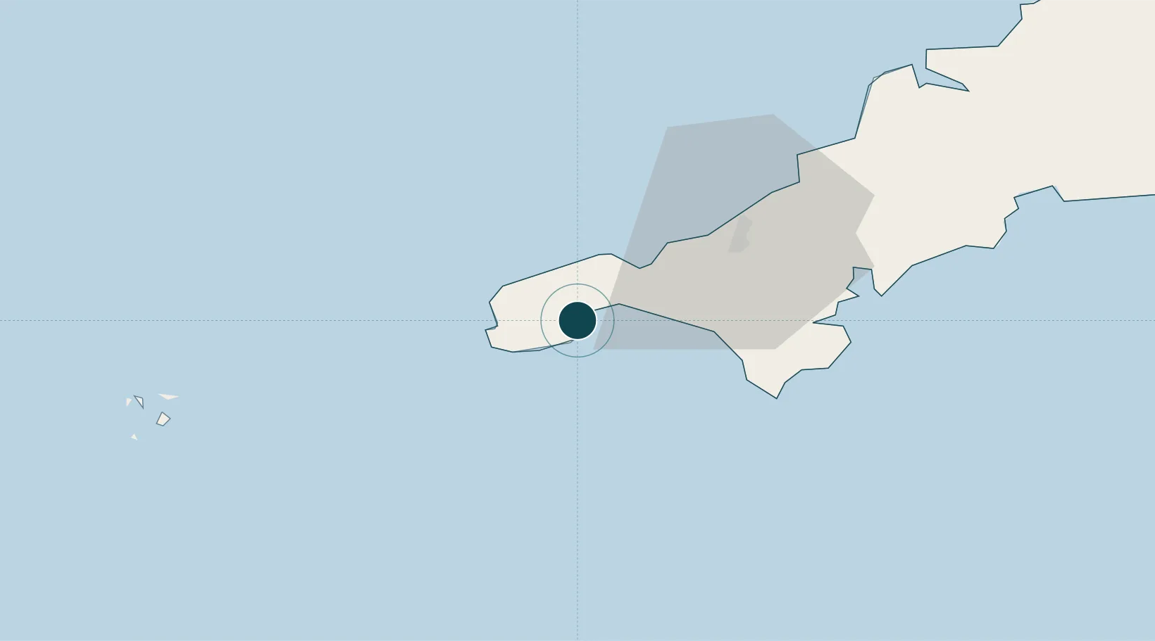
Location
Nearby Logistics Neighbours
Ports
- 1Penzance2 km
- 2Hayle13 km
- 3Falmouth Harbour35 km
- 4Mevagissey58 km
- 5St. Mary's (Scilly Isl.)59 km
Cities
- 1Mousehole2 km
- 2Gulval4 km
- 3Saint Michael's Mount6 km
- 4Penberth7 km
- 5Saint Just10 km
Airports
- 1Penzance Heliport4 km
- 2Land's End Airport9 km
- 3RNAS Culdrose21 km
- 4Cornwall Airport Newquay55 km
- 5St. Mary's Airport57 km
Trade Zones
DatabookThe Record of Consolidated Knowledge
United Kingdom beyond logistics?