Transport Functions
Road
Multimodal
Hub Profile
Place type
Populated place
Region
England
Population
471
Time zone
Europe/London
Elevation
99 m
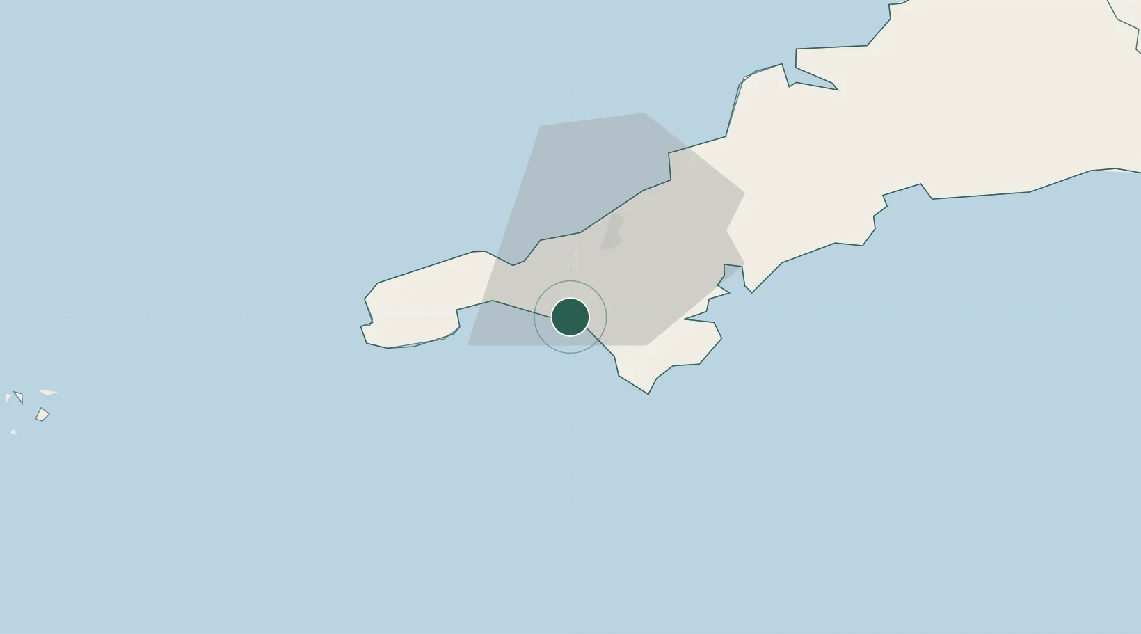
Location
Nearby Logistics Neighbours
Cities
- 1Porthleven2 km
- 2Gweek10 km
- 3Saint Michael's Mount10 km
- 4Mullion10 km
- 5Constantine12 km
Ports
- 1Hayle11 km
- 2Penzance14 km
- 3Newlyn16 km
- 4Falmouth Harbour20 km
- 5Mevagissey43 km
Airports
- 1RNAS Culdrose6 km
- 2Penzance Heliport13 km
- 3Land's End Airport24 km
- 4Cornwall Airport Newquay45 km
- 5St. Mary's Airport72 km
Trade Zones
DatabookThe Record of Consolidated Knowledge
United Kingdom beyond logistics?