UN/LOCODE hub · United Kingdom
GBPLV
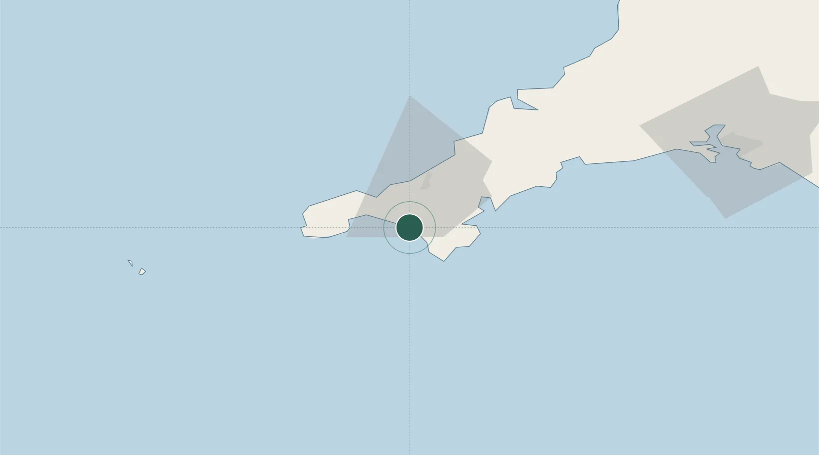
Porthleven
50.0833°, -5.3167°
3,059
Population
2
Transport functions
Transport Functions
Port
Road
Hub Profile
Place type
Populated place
Region
England
Population
3,059
Time zone
Europe/London
Elevation
12 m
Location
Nearby Logistics Neighbours
Cities
- 1Breage2 km
- 2Mullion8 km
- 3Gweek9 km
- 4Constantine11 km
- 5Saint Michael's Mount11 km
Ports
- 1Hayle13 km
- 2Penzance16 km
- 3Newlyn17 km
- 4Falmouth Harbour19 km
- 5Mevagissey43 km
Airports
- 1RNAS Culdrose4 km
- 2Penzance Heliport15 km
- 3Land's End Airport25 km
- 4Cornwall Airport Newquay46 km
- 5St. Mary's Airport72 km
Trade Zones
DatabookThe Record of Consolidated Knowledge
United Kingdom beyond logistics?