UN/LOCODE hub · United Kingdom
GBSMM

Saint Michael's Mount

50.1167°, -5.4667°
1
Transport functions

Transport Functions

Port
UN/LOCODE

Hub Profile

Region
CON
GeoNames

Location

Location of GBSMM
Natural Earth 10m (public domain) · CON · GBSMM · 50.12, -5.47GoogleOSMYandex

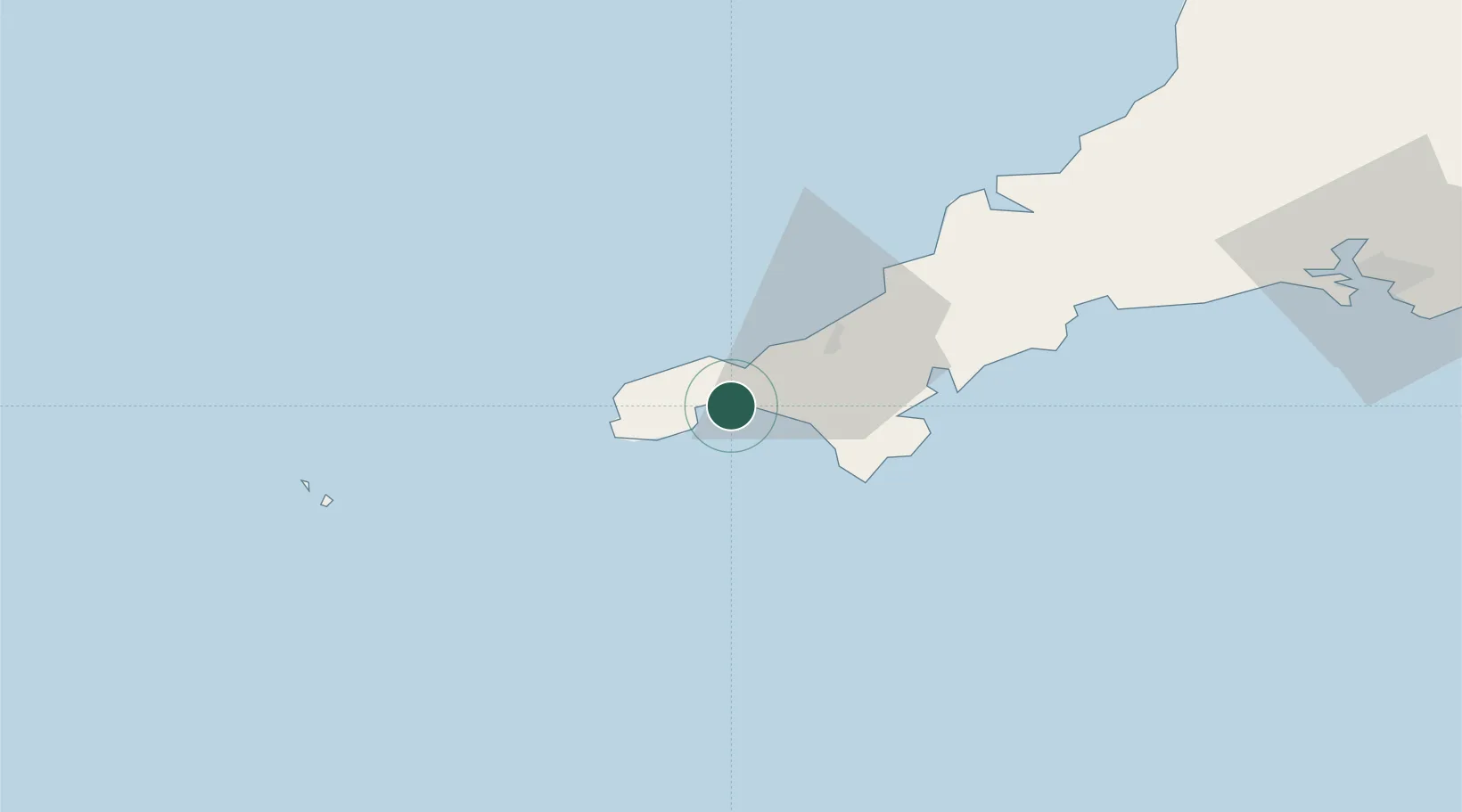
Nearby Logistics Neighbours

Cities
  1. 1Gulval4 km
  2. 2Mousehole7 km
  3. 3Breage10 km
  4. 4Porthleven11 km
  5. 5Penberth12 km
Nearest neighbours — logibook spatial index (haversine) over the source coordinates
Ports
  1. 1Penzance5 km
  2. 2Newlyn6 km
  3. 3Hayle8 km
  4. 4Falmouth Harbour29 km
  5. 5Mevagissey51 km
Nearest neighbours — logibook spatial index (haversine) over the source coordinates
Airports
  1. 1Penzance Heliport4 km
  2. 2Land's End Airport15 km
  3. 3RNAS Culdrose15 km
  4. 4Cornwall Airport Newquay49 km
  5. 5St. Mary's Airport63 km
Nearest neighbours — logibook spatial index (haversine) over the source coordinates
Trade Zones
  1. 1Cornwall Newquay Aerohub Enterprise Zone48 km
  2. 2Oceansgate Plymouth96 km
  3. 3Heart of the South West Enterprise Zone102 km
  4. 4Exeter & East Devon Enterprise Zone158 km
  5. 5Dorset Innovation Park236 km
Nearest neighbours — logibook spatial index (haversine) over the source coordinates
DatabookThe Record of Consolidated Knowledge
United Kingdom beyond logistics?
Browse databook

All Sources

LocationsUN/LOCODE
UN/LOCODE — free
Portsthe NGA World Port Index
Public domain (US gov)
AirportsOurAirports
Public domain
Trade Zonesthe World Bank SEZ database
CC BY 4.0
Trade ZonesOpen Zone Map
CC BY
← United Kingdom locations