Transport Functions
Port
Rail
Road
Hub Profile
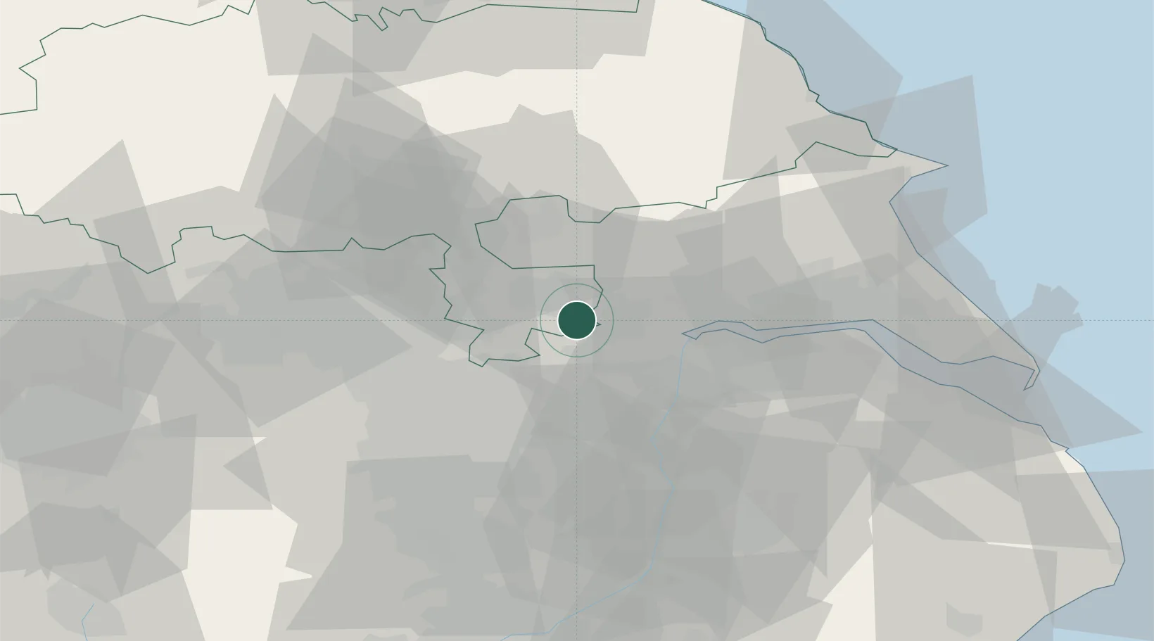
Place type
Populated place
Region
England
Time zone
Europe/London
Elevation
5 m
Location
Nearby Logistics Neighbours
Cities
- 1Selby8 km
- 2Rawcliffe Bridge8 km
- 3Howdendyke9 km
- 4Pollington9 km
- 5Bubwith10 km
Ports
- 1Howdendyke7 km
- 2Goole11 km
- 3New Holland41 km
- 4Kingston Upon Hull46 km
- 5Immingham53 km
Airports
- 1Leeds East Airport18 km
- 2Humberside Airport45 km
- 3Leeds Bradford Airport47 km
- 4RAF Topcliffe58 km
- 5RAF Waddington70 km
Trade Zones
DatabookThe Record of Consolidated Knowledge
United Kingdom beyond logistics?