Transport Functions
Port
Hub Profile
Place type
Populated place
Region
England
Time zone
Europe/London
Elevation
4 m
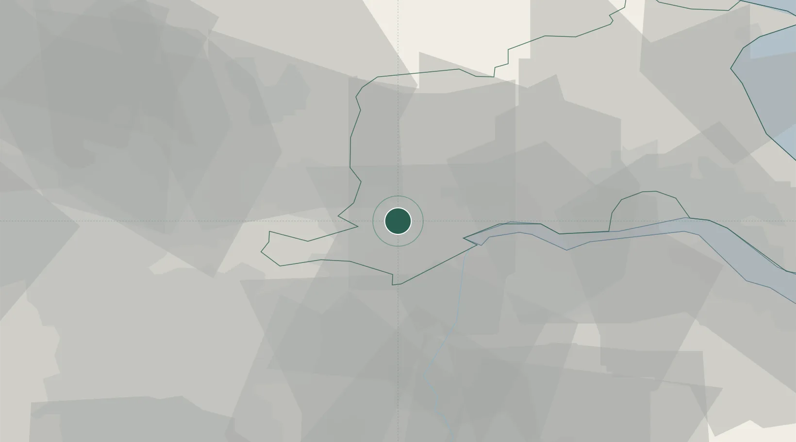
Location
Nearby Logistics Neighbours
Cities
- 1Drax9 km
- 2Rawcliffe Bridge9 km
- 3Bubwith10 km
- 4Seaton Ross13 km
- 5Burton upon Stather14 km
Ports
- 1Goole4 km
- 2New Holland32 km
- 3Kingston Upon Hull37 km
- 4Immingham44 km
- 5Grimsby54 km
Airports
- 1Leeds East Airport25 km
- 2Humberside Airport37 km
- 3Leeds Bradford Airport55 km
- 4RAF Topcliffe63 km
- 5RAF Waddington67 km
Trade Zones
DatabookThe Record of Consolidated Knowledge
United Kingdom beyond logistics?