UN/LOCODE hub · United Kingdom
GBPKL
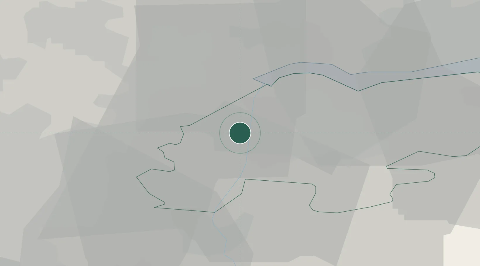
Pocklington
53.6000°, -0.7500°
8,337
Population
1
Transport functions
Transport Functions
Port
Hub Profile
Place type
District seat
Region
England
Population
8,337
Time zone
Europe/London
Elevation
37 m
Location
Nearby Logistics Neighbours
Cities
- 1Keadby1 km
- 2Althorpe2 km
- 3Grove Port4 km
- 4Scunthorpe5 km
- 5Flixborough5 km
Ports
- 1Goole12 km
- 2Howdendyke17 km
- 3New Holland28 km
- 4Kingston Upon Hull35 km
- 5Immingham37 km
Airports
- 1Humberside Airport27 km
- 2Leeds East Airport39 km
- 3RAF Waddington51 km
- 4RAF Cranwell66 km
- 5Leeds Bradford Airport67 km
Trade Zones
DatabookThe Record of Consolidated Knowledge
United Kingdom beyond logistics?