Transport Functions
Port
Hub Profile
Place type
District seat
Region
England
Population
20,810
Time zone
Europe/London
Elevation
4 m
Logistics facilities
1
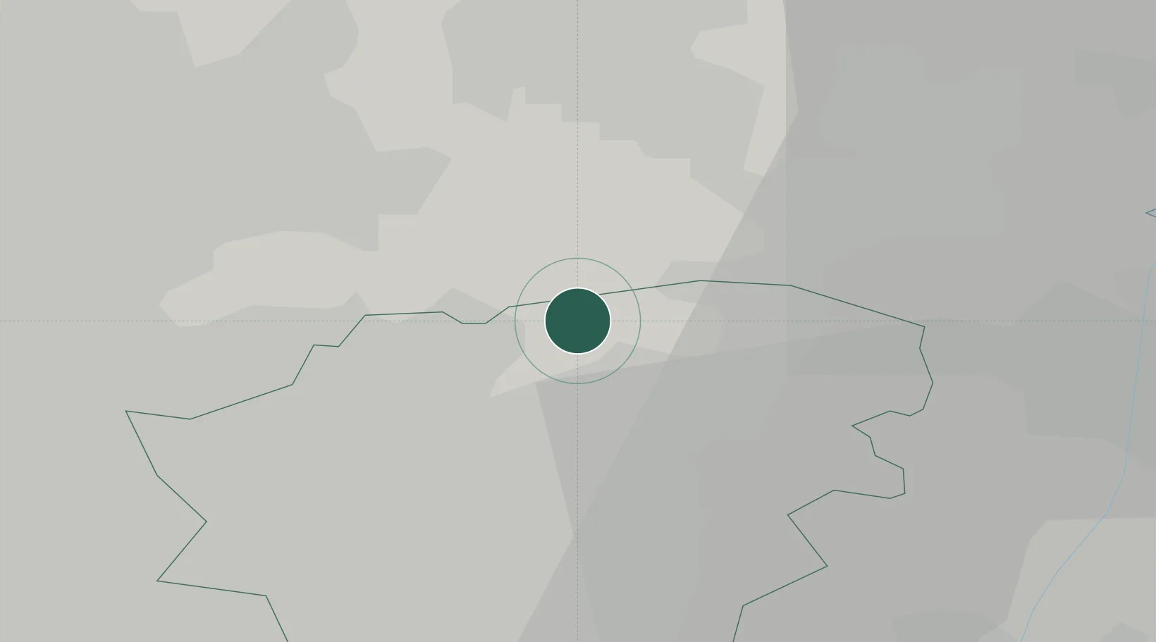
Location
Nearby Logistics Neighbours
Cities
- 1Newcastle3 km
- 2Pollington4 km
- 3Thorne8 km
- 4Eggborough9 km
- 5Rawcliffe Bridge10 km
Ports
- 1Howdendyke16 km
- 2New Holland47 km
- 3Kingston Upon Hull53 km
- 4Immingham57 km
- 5Grimsby67 km
Airports
- 1Leeds East Airport24 km
- 2Leeds Bradford Airport47 km
- 3Humberside Airport48 km
- 4RAF Waddington64 km
- 5RAF Topcliffe66 km
Trade Zones
DatabookThe Record of Consolidated Knowledge
United Kingdom beyond logistics?