UN/LOCODE hub · United Kingdom
GBBUS
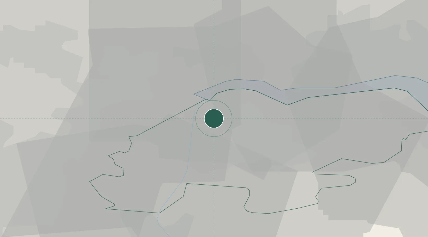
Burton upon Stather
53.6500°, -0.6833°
2,410
Population
1
Transport functions
Transport Functions
Port
Hub Profile
Place type
Populated place
Region
England
Population
2,410
Time zone
Europe/London
Elevation
64 m
Location
Nearby Logistics Neighbours
Cities
- 1Flixborough4 km
- 2Keadby7 km
- 3Scunthorpe7 km
- 4Pocklington7 km
- 5Grove Port8 km
Ports
- 1Goole11 km
- 2Howdendyke16 km
- 3New Holland22 km
- 4Kingston Upon Hull29 km
- 5Immingham32 km
Airports
- 1Humberside Airport24 km
- 2Leeds East Airport39 km
- 3RAF Waddington55 km
- 4Leeds Bradford Airport69 km
- 5RAF Cranwell70 km
Trade Zones
DatabookThe Record of Consolidated Knowledge
United Kingdom beyond logistics?