Transport Functions
Port
Road
Hub Profile
Region
CGN
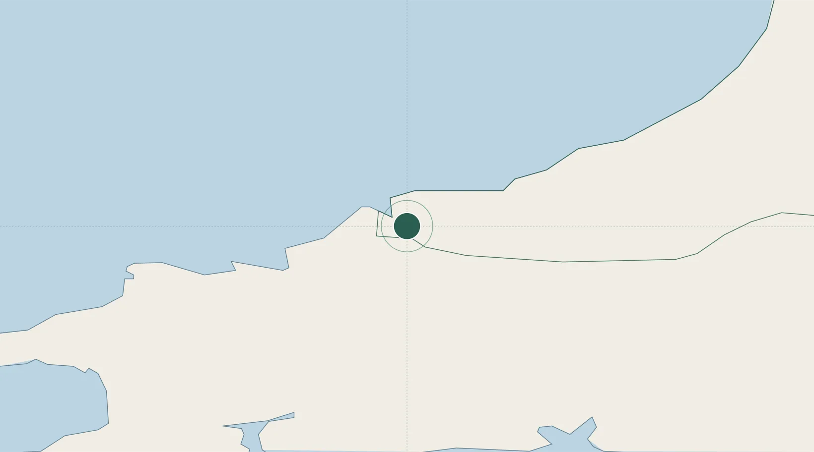
Location
Nearby Logistics Neighbours
Cities
- 1Boncath10 km
- 2Newcastle Emlyn14 km
- 3Llanfyrnach16 km
- 4Fishguard24 km
- 5Ceinewydd (New Quay)24 km
Ports
- 1Fishguard24 km
- 2Milford Haven49 km
- 3Swansea71 km
- 4Neath75 km
- 5Port Talbot80 km
Airports
- 1Haverfordwest Airport35 km
- 2Swansea Airport67 km
- 3Lundy Island Helipad102 km
- 4MOD St Athan113 km
- 5Royal Marines Base Chivenor116 km
Trade Zones
- 1Hereford Enterprise Zone135 km
- 2Ceramics Valley139 km
- 3Bristol Temple Quarter Enterprise Zone159 km
- 4Exeter & East Devon Enterprise Zone172 km
- 5Cheshire Science Corridor176 km
DatabookThe Record of Consolidated Knowledge
United Kingdom beyond logistics?