Channel & Berth Profile
Pilotage, Tugs & Services
Pilotage compulsoryNO
Pilotage availableYES
Tug assistanceNO
Salvage tugsNO
Potable waterYES
Diesel bunkersYES
MedicalYES
Garbage disposalYES
Facilities & Capabilities
Container—
Ro-Ro—
Liquid bulk—
Dry bulk—
Oil terminal—
Break bulk—
Dry dock—
RepairsNO
BunkeringYES
Rail link—
Dangerous cargo—
ISPS security—
Harbour Specifications
Harbour size
Very Small
Harbour type
Coastal (Breakwater)
Shelter
Good
Water body
North Atlantic Ocean
Tidal range
3 m
Pilotage
No
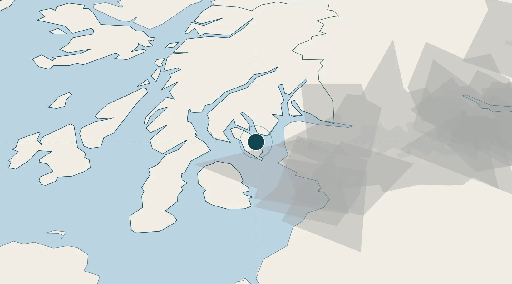
Location
Nearby Logistics Neighbours
Ports
- 1Largs12 km
- 2Millport13 km
- 3Hunterston14 km
- 4Greenock23 km
- 5Ardrossan25 km
Cities
- 1Ardyne4 km
- 2Ardmaleish4 km
- 3Colintraive11 km
- 4Rhubodach, Isle of Bute11 km
- 5Wemyss Bay11 km
Airports
- 1Glasgow Airport39 km
- 2Glasgow Prestwick Airport47 km
- 3Campbeltown Airport60 km
- 4Oban Airport73 km
- 5Islay Airport77 km
Trade Zones
DatabookThe Record of Consolidated Knowledge
United Kingdom beyond logistics?