UN/LOCODE hub · United Kingdom
GBASG
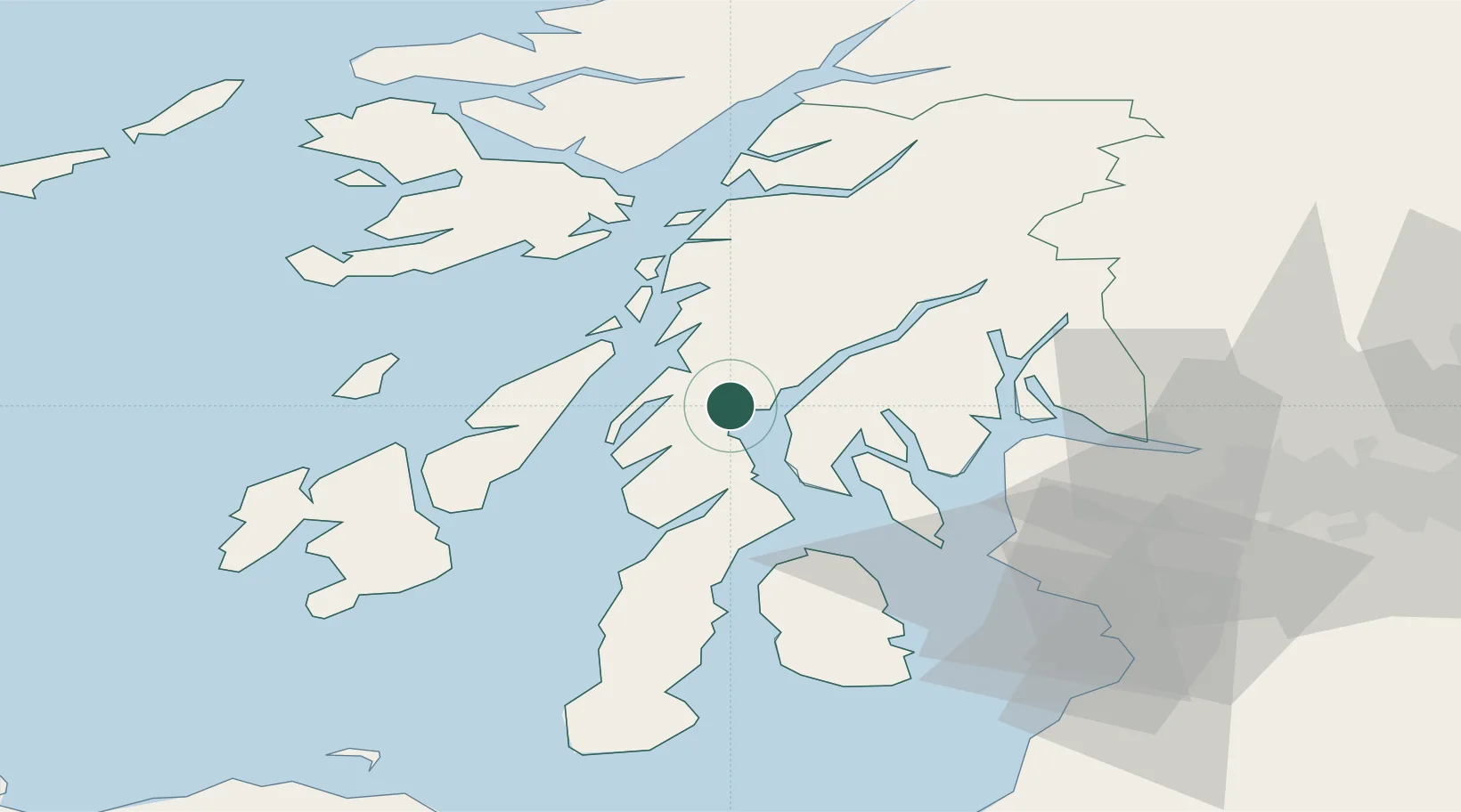
Ardrishaig
56.0167°, -5.4500°
1,320
Population
1
Transport functions
Transport Functions
Port
Hub Profile
Place type
Populated place
Region
Scotland
Population
1,320
Time zone
Europe/London
Elevation
6 m
Location
Nearby Logistics Neighbours
Cities
- 1Tayvallich10 km
- 2Crinan10 km
- 3Tarbert, Loch Fyne17 km
- 4West Loch Tarbert19 km
- 5Tighnabruaich19 km
Ports
- 1Crinan (Canal)10 km
- 2Rothesay Harbor32 km
- 3Faslane40 km
- 4Finnart Oil Terminal40 km
- 5Largs44 km
Airports
- 1Colonsay Airstrip50 km
- 2Oban Airport50 km
- 3Islay Airport63 km
- 4Glasgow Airport65 km
- 5Campbeltown Airport66 km
Trade Zones
DatabookThe Record of Consolidated Knowledge
United Kingdom beyond logistics?