Transport Functions
Port
Road
Hub Profile
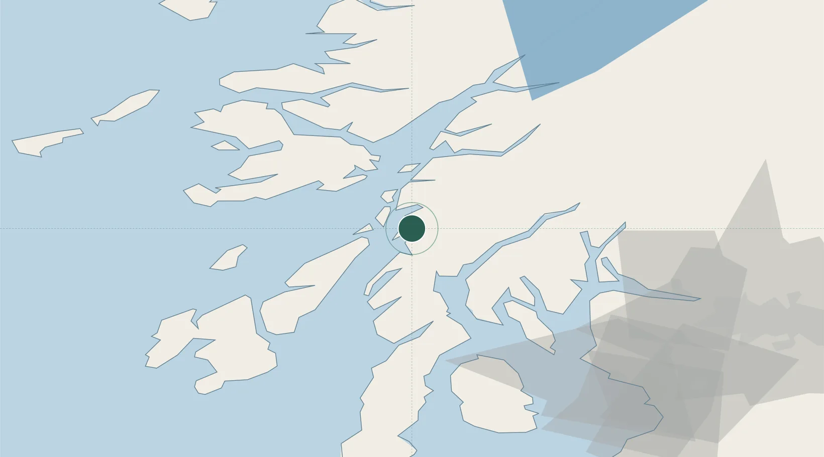
Place type
Populated place
Region
Scotland
Time zone
Europe/London
Elevation
5 m
Location
Nearby Logistics Neighbours
Cities
- 1Toberonochy6 km
- 2Cuan Ferry, Seil11 km
- 3South Cuan, Luing11 km
- 4Crinan11 km
- 5Balvicar12 km
Ports
- 1Crinan (Canal)11 km
- 2Ardrishaig19 km
- 3Oban26 km
- 4Craignure33 km
- 5Glensanda43 km
Airports
- 1Oban Airport32 km
- 2Colonsay Airstrip46 km
- 3Islay Airport72 km
- 4Glasgow Airport77 km
- 5Coll Airport81 km
Trade Zones
DatabookThe Record of Consolidated Knowledge
United Kingdom beyond logistics?