UN/LOCODE hub · United Kingdom
GBTLI

Tayvallich

56.0167°, -5.6167°
1
Transport functions

Transport Functions

Port
UN/LOCODE

Hub Profile

Place type
Populated place
GeoNames
Region
Scotland
GeoNames
Time zone
Europe/London
GeoNames
Elevation
9 m
GeoNames

Location

Location of GBTLI
Natural Earth 10m (public domain) · Scotland · GBTLI · 56.02, -5.62GoogleOSMYandex

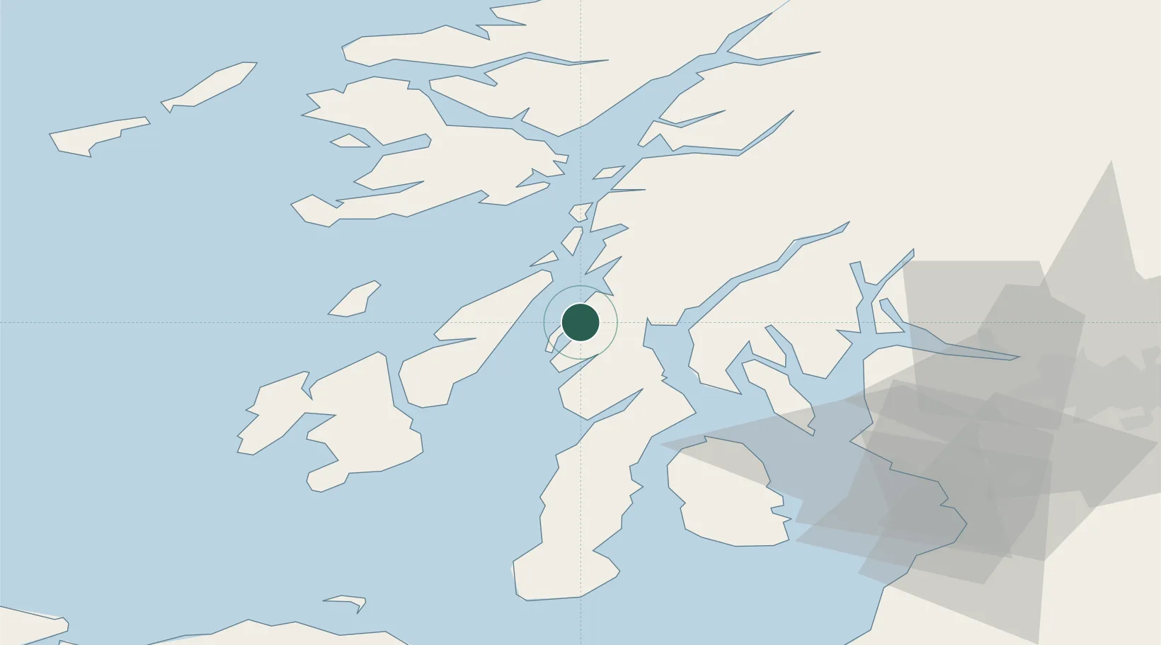
Nearby Logistics Neighbours

Cities
  1. 1Crinan8 km
  2. 2Ardrishaig10 km
  3. 3Jura19 km
  4. 4Ardfern19 km
  5. 5Toberonochy20 km
Nearest neighbours — logibook spatial index (haversine) over the source coordinates
Ports
  1. 1Crinan (Canal)8 km
  2. 2Ardrishaig10 km
  3. 3Rothesay Harbor41 km
  4. 4Oban45 km
  5. 5Faslane50 km
Nearest neighbours — logibook spatial index (haversine) over the source coordinates
Airports
  1. 1Colonsay Airstrip39 km
  2. 2Oban Airport52 km
  3. 3Islay Airport55 km
  4. 4Campbeltown Airport65 km
  5. 5Glasgow Airport75 km
Nearest neighbours — logibook spatial index (haversine) over the source coordinates
Trade Zones
  1. 1Prestwick Airport Free Zone85 km
  2. 2Carlisle Kingmoor Park Enterprise Zone206 km
  3. 3Isle of Man Free Zone and Business Park223 km
  4. 4North Eastern Enterprise Zone277 km
  5. 5Blackpool Enterprise Zone299 km
Nearest neighbours — logibook spatial index (haversine) over the source coordinates
DatabookThe Record of Consolidated Knowledge
United Kingdom beyond logistics?
Browse databook

All Sources

LocationsUN/LOCODE
UN/LOCODE — free
Portsthe NGA World Port Index
Public domain (US gov)
AirportsOurAirports
Public domain
Trade Zonesthe World Bank SEZ database
CC BY 4.0
Trade ZonesOpen Zone Map
CC BY
← United Kingdom locations