Transport Functions
Port
Road
Hub Profile
Place type
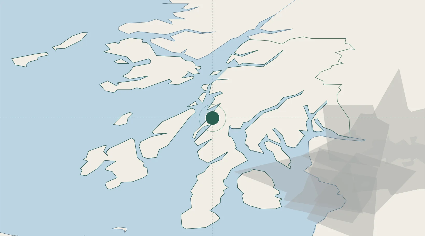
Populated place
Region
Scotland
Time zone
Europe/London
Elevation
40 m
Location
Nearby Logistics Neighbours
Cities
- 1Tayvallich8 km
- 2Ardrishaig10 km
- 3Ardfern11 km
- 4Toberonochy13 km
- 5Cuan Ferry, Seil21 km
Ports
- 1Ardrishaig10 km
- 2Oban38 km
- 3Rothesay Harbor43 km
- 4Craignure43 km
- 5Finnart Oil Terminal46 km
Airports
- 1Colonsay Airstrip42 km
- 2Oban Airport44 km
- 3Islay Airport62 km
- 4Campbeltown Airport72 km
- 5Glasgow Airport74 km
Trade Zones
DatabookThe Record of Consolidated Knowledge
United Kingdom beyond logistics?