UN/LOCODE hub · United Kingdom
GBCUA

Cuan Ferry, Seil

56.2667°, -5.6333°
2
Transport functions

Transport Functions

Port
Road
UN/LOCODE

Hub Profile

Region
AGB
GeoNames

Location

Location of GBCUA
Natural Earth 10m (public domain) · AGB · GBCUA · 56.27, -5.63GoogleOSMYandex

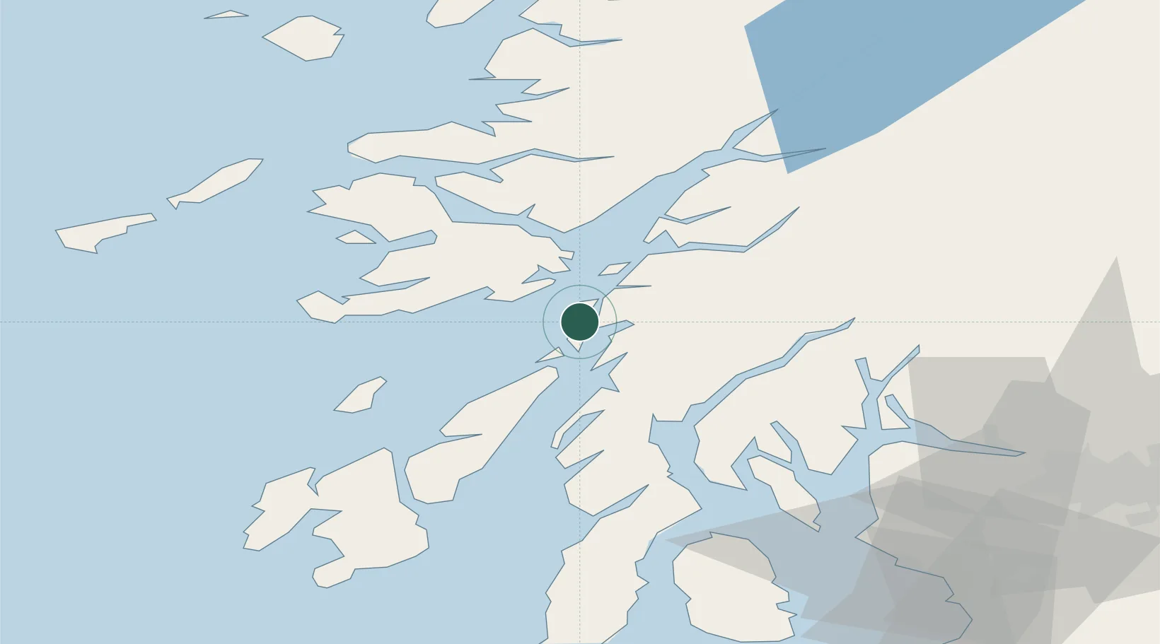
Nearby Logistics Neighbours

Cities
  1. 1South Cuan, Luing0 km
  2. 2Easdale, Seil2 km
  3. 3Ellenabeich, Seil2 km
  4. 4Balvicar3 km
  5. 5Toberonochy8 km
Nearest neighbours — logibook spatial index (haversine) over the source coordinates
Ports
  1. 1Oban20 km
  2. 2Crinan (Canal)21 km
  3. 3Craignure23 km
  4. 4Ardrishaig30 km
  5. 5Lochaline33 km
Nearest neighbours — logibook spatial index (haversine) over the source coordinates
Airports
  1. 1Oban Airport26 km
  2. 2Colonsay Airstrip44 km
  3. 3Coll Airport71 km
  4. 4Islay Airport76 km
  5. 5Tiree Airport80 km
Nearest neighbours — logibook spatial index (haversine) over the source coordinates
Trade Zones
  1. 1Prestwick Airport Free Zone106 km
  2. 2Carlisle Kingmoor Park Enterprise Zone224 km
  3. 3Isle of Man Free Zone and Business Park250 km
  4. 4North Eastern Enterprise Zone290 km
  5. 5Blackpool Enterprise Zone323 km
Nearest neighbours — logibook spatial index (haversine) over the source coordinates
DatabookThe Record of Consolidated Knowledge
United Kingdom beyond logistics?
Browse databook

All Sources

LocationsUN/LOCODE
UN/LOCODE — free
Portsthe NGA World Port Index
Public domain (US gov)
AirportsOurAirports
Public domain
Trade Zonesthe World Bank SEZ database
CC BY 4.0
Trade ZonesOpen Zone Map
CC BY
← United Kingdom locations