UN/LOCODE hub · United Kingdom
GBSEC

Southend Argyll

55.3167°, -5.6333°
1
Transport functions

Transport Functions

Port
UN/LOCODE

Hub Profile

Region
AGB
GeoNames

Location

Location of GBSEC
Natural Earth 10m (public domain) · AGB · GBSEC · 55.32, -5.63GoogleOSMYandex

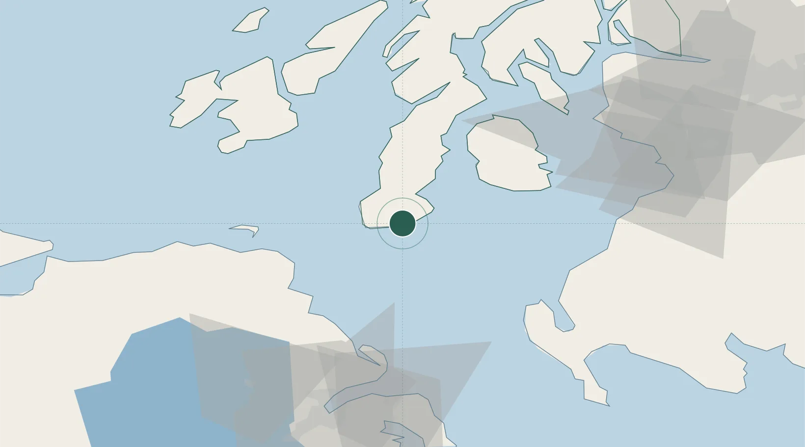
Nearby Logistics Neighbours

Cities
  1. 1Campbeltown13 km
  2. 2Shiskine31 km
  3. 3Carradale32 km
  4. 4Muasdale32 km
  5. 5Cushendun33 km
Nearest neighbours — logibook spatial index (haversine) over the source coordinates
Ports
  1. 1Campbeltown13 km
  2. 2Lamlash Harbor41 km
  3. 3Port Ellen50 km
  4. 4Larne53 km
  5. 5Stranraer60 km
Nearest neighbours — logibook spatial index (haversine) over the source coordinates
Airports
  1. 1Campbeltown Airport14 km
  2. 2Islay Airport57 km
  3. 3Glasgow Prestwick Airport70 km
  4. 4George Best Belfast City Airport79 km
  5. 5Belfast International Airport82 km
Nearest neighbours — logibook spatial index (haversine) over the source coordinates
Trade Zones
  1. 1Prestwick Airport Free Zone68 km
  2. 2Isle of Man Free Zone and Business Park151 km
  3. 3Carlisle Kingmoor Park Enterprise Zone175 km
  4. 4Dublin International Financial Services Centre222 km
  5. 5Blackpool Enterprise Zone240 km
Nearest neighbours — logibook spatial index (haversine) over the source coordinates
DatabookThe Record of Consolidated Knowledge
United Kingdom beyond logistics?
Browse databook

All Sources

LocationsUN/LOCODE
UN/LOCODE — free
Portsthe NGA World Port Index
Public domain (US gov)
AirportsOurAirports
Public domain
Trade Zonesthe World Bank SEZ database
CC BY 4.0
Trade ZonesOpen Zone Map
CC BY
← United Kingdom locations