UN/LOCODE hub · United Kingdom
GBCBT
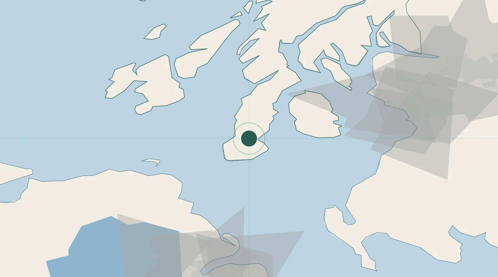
Campbeltown
55.4333°, -5.6333°
4,800
Population
2
Transport functions
Transport Functions
Port
Airport
Hub Profile
Place type
Populated place
Region
Scotland
Population
4,800
Time zone
Europe/London
Elevation
5 m
Location
Nearby Logistics Neighbours
Cities
- 1Southend Argyll13 km
- 2Muasdale19 km
- 3Carradale20 km
- 4Shiskine23 km
- 5Tayinloan24 km
Ports
- 1Lamlash Harbor34 km
- 2Port Ellen42 km
- 3Ardrossan57 km
- 4Millport57 km
- 5Rothesay Harbor58 km
Airports
- 1Campbeltown Airport3 km
- 2Islay Airport48 km
- 3Glasgow Prestwick Airport67 km
- 4Colonsay Airstrip79 km
- 5Glasgow Airport90 km
Trade Zones
DatabookThe Record of Consolidated Knowledge
United Kingdom beyond logistics?