Transport Functions
Port
Road
Hub Profile
Place type
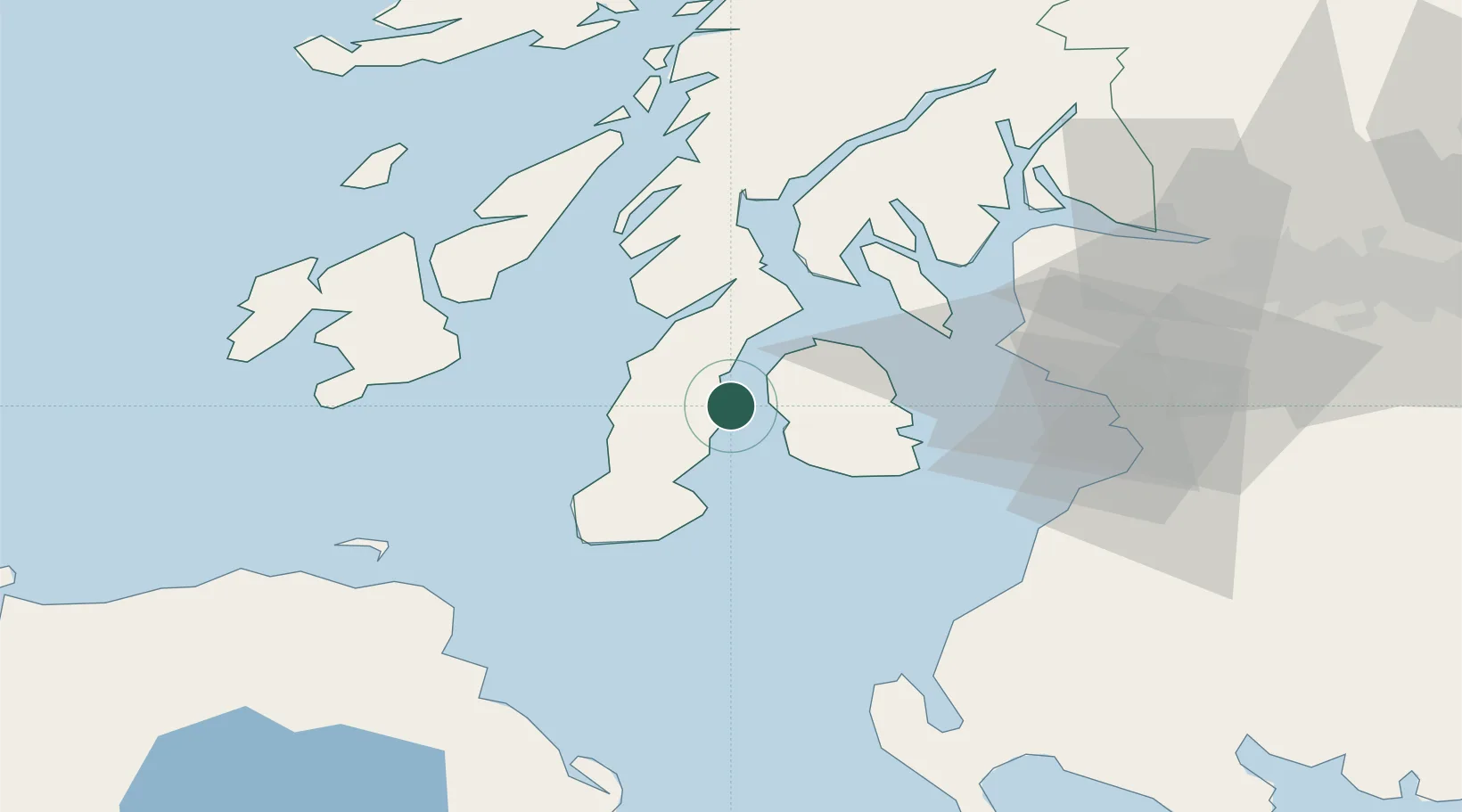
Populated place
Region
Scotland
Population
497
Time zone
Europe/London
Elevation
21 m
Location
Nearby Logistics Neighbours
Cities
- 1Muasdale13 km
- 2Shiskine13 km
- 3Tayinloan14 km
- 4Lochranza, Isle of Arran17 km
- 5Brodick, Isle of Arran19 km
Ports
- 1Campbeltown19 km
- 2Lamlash Harbor23 km
- 3Rothesay Harbor38 km
- 4Millport39 km
- 5Hunterston41 km
Airports
- 1Campbeltown Airport21 km
- 2Islay Airport51 km
- 3Glasgow Prestwick Airport57 km
- 4Colonsay Airstrip72 km
- 5Glasgow Airport72 km
Trade Zones
DatabookThe Record of Consolidated Knowledge
United Kingdom beyond logistics?