Transport Functions
Port
Road
Hub Profile
Place type
Populated place
Region
Scotland
Time zone
Europe/London
Elevation
11 m
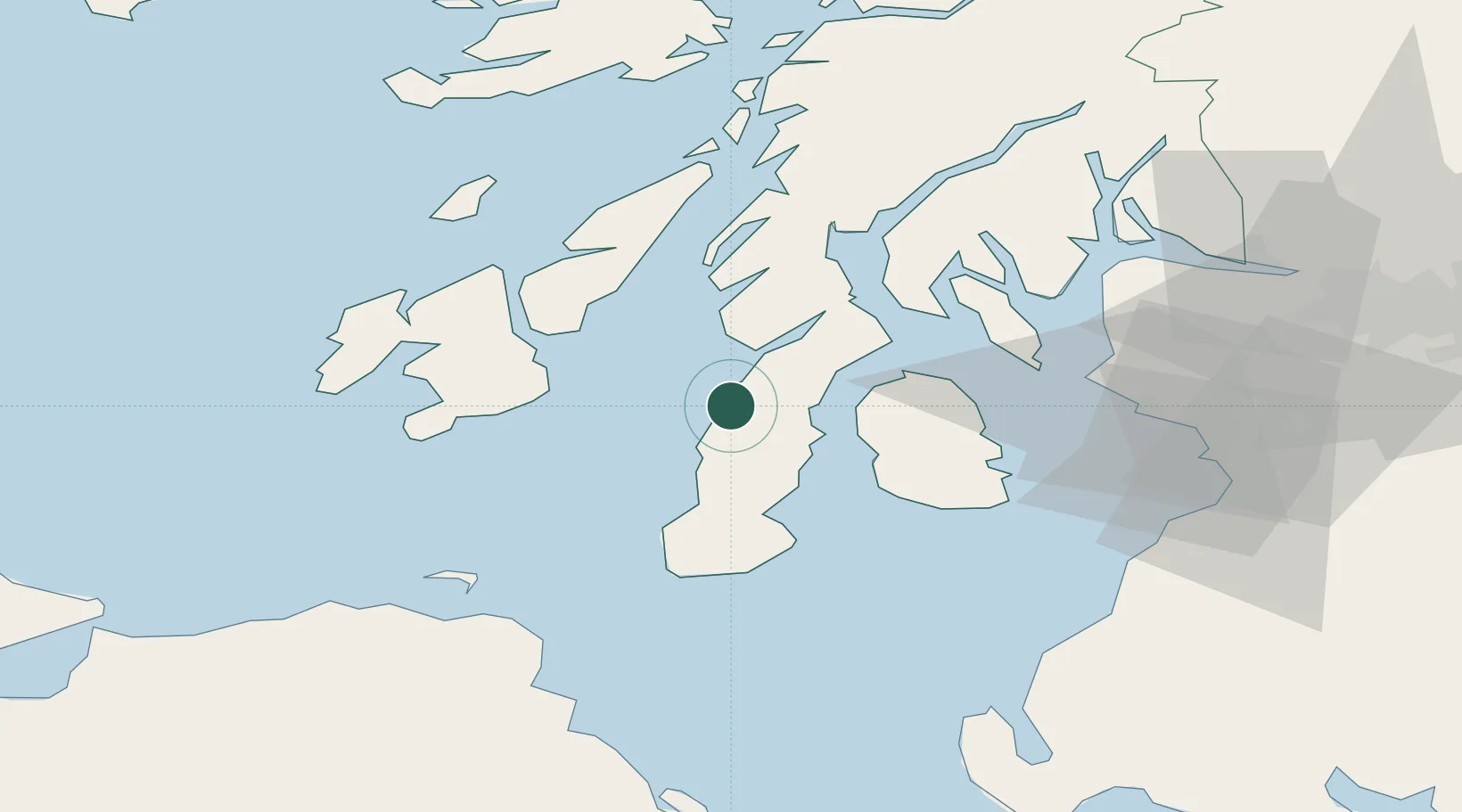
Location
Nearby Logistics Neighbours
Cities
- 1Ardminish, Gigha Island6 km
- 2Muasdale6 km
- 3Carradale14 km
- 4Kennacraig20 km
- 5Lochranza, Isle of Arran23 km
Ports
- 1Campbeltown24 km
- 2Port Ellen35 km
- 3Lamlash Harbor36 km
- 4Ardrishaig43 km
- 5Rothesay Harbor43 km
Airports
- 1Campbeltown Airport24 km
- 2Islay Airport38 km
- 3Colonsay Airstrip59 km
- 4Glasgow Prestwick Airport69 km
- 5Glasgow Airport80 km
Trade Zones
DatabookThe Record of Consolidated Knowledge
United Kingdom beyond logistics?