Channel & Berth Profile
Pilotage, Tugs & Services
Tug assistanceNO
Salvage tugsNO
Shore powerYES
Potable waterYES
Diesel bunkersNO
MedicalYES
Garbage disposalYES
Facilities & Capabilities
Container—
Ro-Ro—
Liquid bulk—
Dry bulk—
Oil terminal—
Break bulk—
Dry dock—
Repairs—
BunkeringNO
Rail link—
Dangerous cargo—
ISPS security—
Harbour Specifications
Harbour size
Small
Harbour type
Coastal (Natural)
Shelter
Fair
Water body
North Atlantic Ocean
Tidal range
8 m
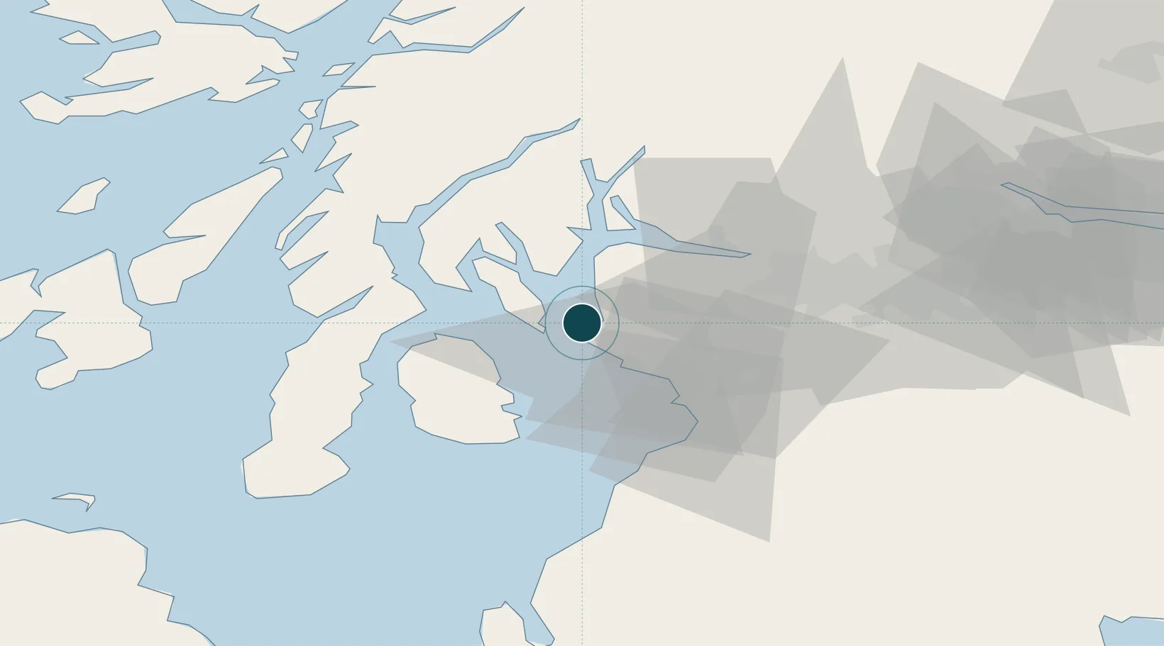
Location
Nearby Logistics Neighbours
Ports
- 1Hunterston2 km
- 2Largs6 km
- 3Rothesay Harbor13 km
- 4Ardrossan13 km
- 5Greenock25 km
Cities
- 1Cumbraes2 km
- 2Cumbrae Slip, Great Cumbrae4 km
- 3Fairlie4 km
- 4Hunterston4 km
- 5Largs6 km
Airports
- 1Glasgow Airport33 km
- 2Glasgow Prestwick Airport35 km
- 3Campbeltown Airport60 km
- 4Islay Airport84 km
- 5Oban Airport85 km
Trade Zones
DatabookThe Record of Consolidated Knowledge
United Kingdom beyond logistics?