UN/LOCODE hub · United Kingdom
GBBUH
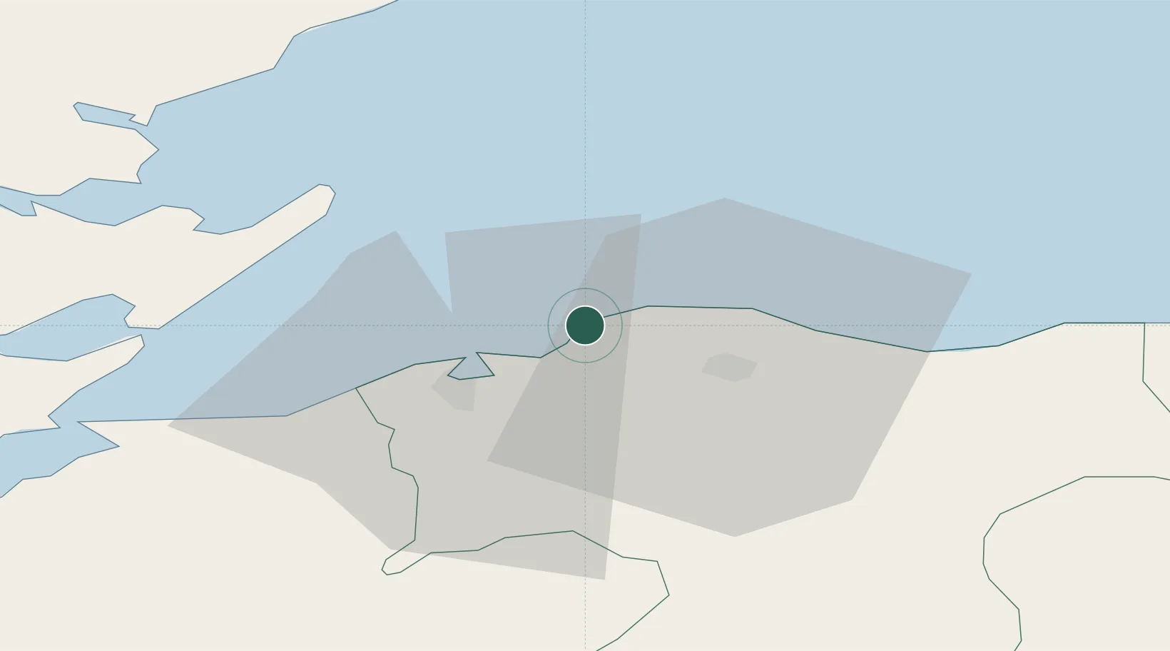
Burghead
57.7000°, -3.4833°
1,930
Population
1
Transport functions
Transport Functions
Port
Hub Profile
Place type
Populated place
Region
Scotland
Population
1,930
Time zone
Europe/London
Elevation
9 m
Location
Nearby Logistics Neighbours
Cities
- 1Hopeman3 km
- 2Findhorn9 km
- 3Elgin11 km
- 4Charlestown of Aberlour12 km
- 5Lossiemouth12 km
Ports
- 1Lossiemouth12 km
- 2Portmahomack Harbor26 km
- 3Buckie Harbor31 km
- 4Cromarty33 km
- 5Invergordon41 km
Airports
- 1RAF Lossiemouth9 km
- 2Inverness Airport38 km
- 3Wick John O'Groats Airport87 km
- 4Aberdeen International Airport95 km
- 5Dundee Airport141 km
Trade Zones
DatabookThe Record of Consolidated Knowledge
United Kingdom beyond logistics?