Transport Functions
Road
Multimodal
Hub Profile
Place type
Populated place
Region
England
Time zone
Europe/London
Elevation
8 m
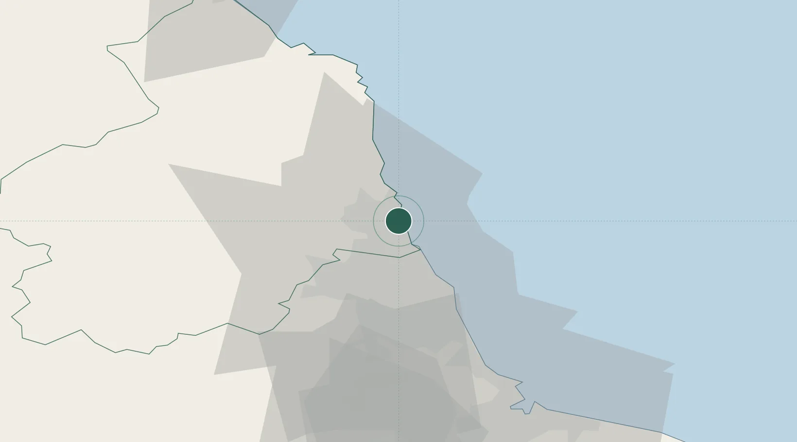
Location
Nearby Logistics Neighbours
Cities
- 1Newbiggin by the Sea2 km
- 2Lynemouth8 km
- 3Fishburn13 km
- 4Tynemouth16 km
- 5North Shields17 km
Ports
- 1Blyth4 km
- 2Tynemouth18 km
- 3Warkworth Harbour21 km
- 4Sunderland28 km
- 5Seaham38 km
Airports
- 1Newcastle International Airport17 km
- 2RAF Spadeadam67 km
- 3Teesside International Airport72 km
- 4Carlisle Lake District Airport86 km
- 5RAF Leeming95 km
Trade Zones
DatabookThe Record of Consolidated Knowledge
United Kingdom beyond logistics?