UN/LOCODE hub · United Kingdom
GBNBC

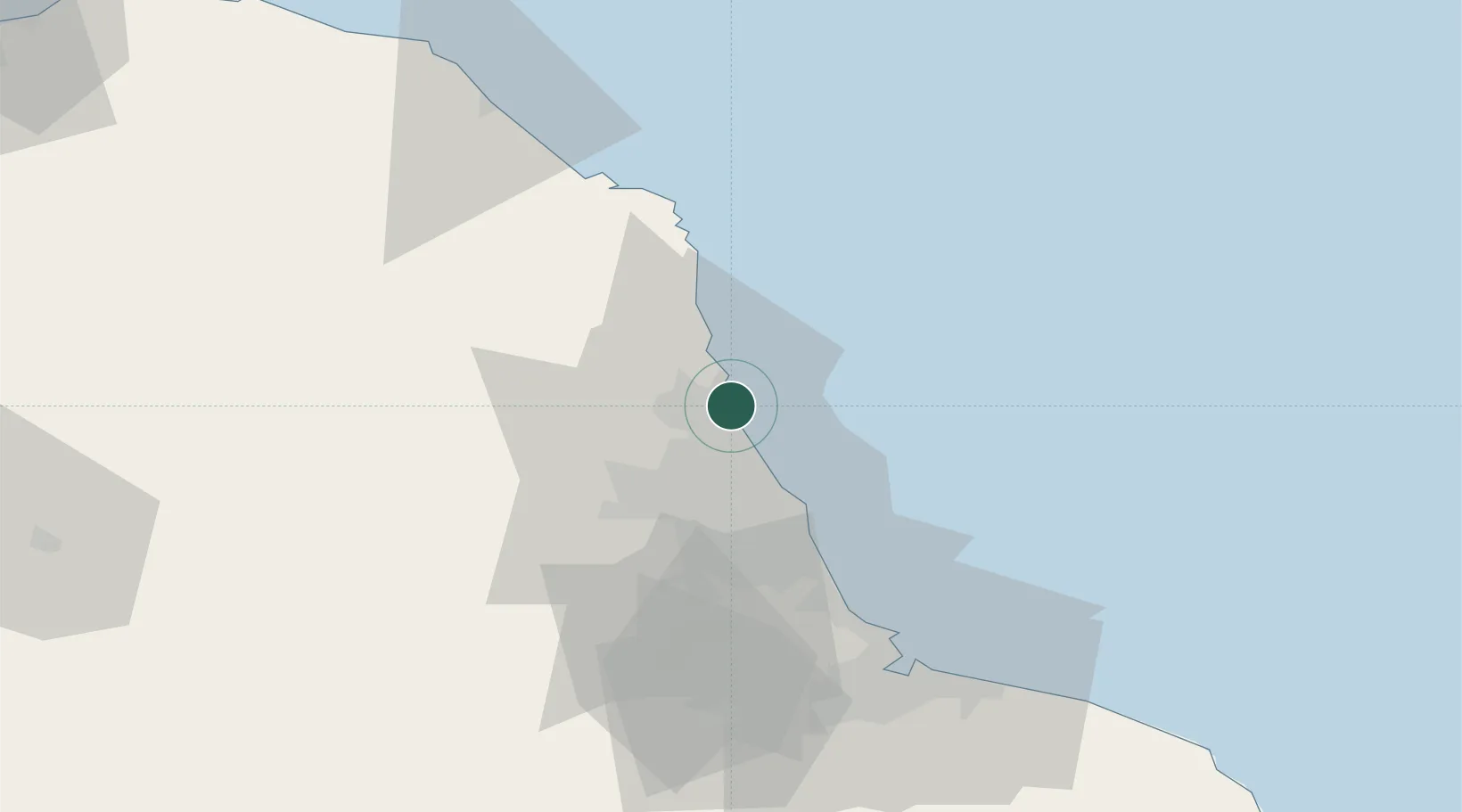
Newbiggin by the Sea

55.1667°, -1.5167°
6,308
Population
1
Transport functions

Transport Functions

Port
UN/LOCODE

Hub Profile

Place type
Populated place
GeoNames
Region
England
GeoNames
Population
6,308
GeoNames
Time zone
Europe/London
GeoNames
Elevation
11 m
GeoNames

Location

Location of GBNBC
Natural Earth 10m (public domain) · England · GBNBC · 55.17, -1.52GoogleOSMYandex

Nearby Logistics Neighbours

Cities
  1. 1Cambois2 km
  2. 2Lynemouth6 km
  3. 3Fishburn13 km
  4. 4Amble17 km
  5. 5Tynemouth18 km
Nearest neighbours — logibook spatial index (haversine) over the source coordinates
Ports
  1. 1Blyth6 km
  2. 2Warkworth Harbour19 km
  3. 3Tynemouth20 km
  4. 4Sunderland29 km
  5. 5Seaham39 km
Nearest neighbours — logibook spatial index (haversine) over the source coordinates
Airports
  1. 1Newcastle International Airport18 km
  2. 2RAF Spadeadam67 km
  3. 3Teesside International Airport73 km
  4. 4Carlisle Lake District Airport86 km
  5. 5RAF Leeming97 km
Nearest neighbours — logibook spatial index (haversine) over the source coordinates
Trade Zones
  1. 1North Eastern Enterprise Zone23 km
  2. 2Tees Valley Enterprise Zone66 km
  3. 3Carlisle Kingmoor Park Enterprise Zone96 km
  4. 4York Central Enterprise Zone137 km
  5. 5Aire Valley Leeds Enterprise Zone154 km
Nearest neighbours — logibook spatial index (haversine) over the source coordinates
DatabookThe Record of Consolidated Knowledge
United Kingdom beyond logistics?
Browse databook

All Sources

LocationsUN/LOCODE
UN/LOCODE — free
LocationsGeoNames
CC BY 4.0
Portsthe NGA World Port Index
Public domain (US gov)
AirportsOurAirports
Public domain
Trade Zonesthe World Bank SEZ database
CC BY 4.0
Trade ZonesOpen Zone Map
CC BY
← United Kingdom locations