UN/LOCODE hub · United Kingdom
GBTYM
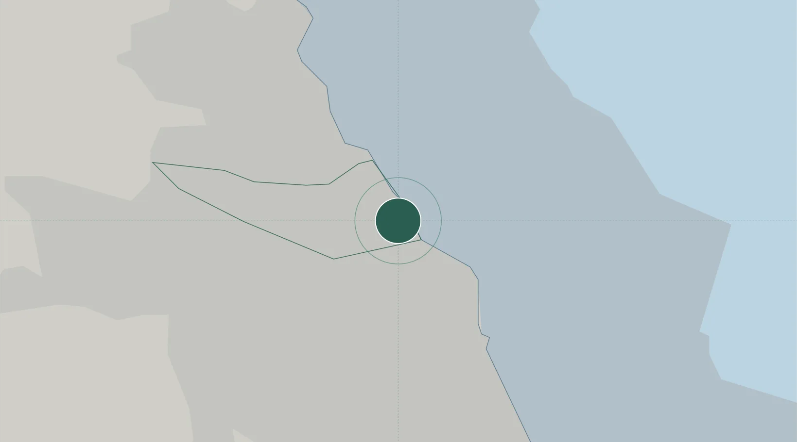
Tynemouth
55.0167°, -1.4333°
17,436
Population
1
Transport functions
Transport Functions
Port
Hub Profile
Place type
Populated place
Region
England
Population
17,436
Time zone
Europe/London
Elevation
35 m
Location
Nearby Logistics Neighbours
Cities
- 1Tyne2 km
- 2North Shields3 km
- 3Jarrow4 km
- 4South Shields4 km
- 5Howdon4 km
Ports
- 1Blyth12 km
- 2Sunderland12 km
- 3Seaham22 km
- 4Warkworth Harbour37 km
- 5Hartlepool39 km
Airports
- 1Newcastle International Airport17 km
- 2Teesside International Airport56 km
- 3RAF Spadeadam71 km
- 4RAF Leeming80 km
- 5Carlisle Lake District Airport88 km
Trade Zones
DatabookThe Record of Consolidated Knowledge
United Kingdom beyond logistics?