UN/LOCODE hub · United Kingdom
GBNSH
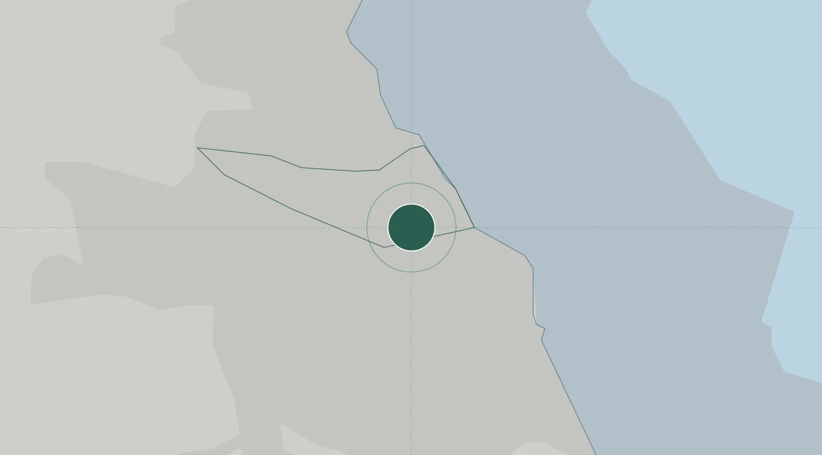
North Shields
55.0000°, -1.4667°
39,747
Population
1
Transport functions
Transport Functions
Port
Hub Profile
Place type
Populated place
Region
England
Population
39,747
Time zone
Europe/London
Elevation
42 m
Location
Nearby Logistics Neighbours
Cities
- 1Howdon2 km
- 2Tyne2 km
- 3Jarrow2 km
- 4South Shields2 km
- 5Wallsend2 km
Ports
- 1Tynemouth4 km
- 2Sunderland11 km
- 3Blyth13 km
- 4Seaham21 km
- 5Warkworth Harbour38 km
Airports
- 1Newcastle International Airport15 km
- 2Teesside International Airport55 km
- 3RAF Spadeadam69 km
- 4RAF Leeming78 km
- 5Carlisle Lake District Airport86 km
Trade Zones
DatabookThe Record of Consolidated Knowledge
United Kingdom beyond logistics?