UN/LOCODE hub · United Kingdom
GBWRB

West Loch Tarbert

55.8500°, -5.4333°
1
Transport functions

Transport Functions

Port
UN/LOCODE

Hub Profile

Region
AGB
GeoNames

Location

Location of GBWRB
Natural Earth 10m (public domain) · AGB · GBWRB · 55.85, -5.43GoogleOSMYandex

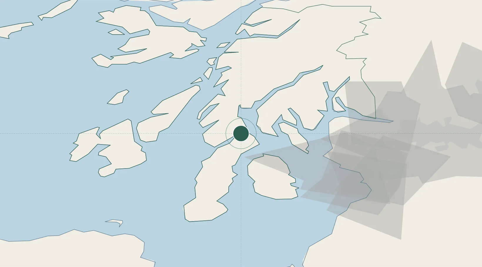
Nearby Logistics Neighbours

Cities
  1. 1Tarbert, Loch Fyne2 km
  2. 2Kennacraig6 km
  3. 3Portavadie9 km
  4. 4Kyles of Bute14 km
  5. 5Tighnabruaich14 km
Nearest neighbours — logibook spatial index (haversine) over the source coordinates
Ports
  1. 1Ardrishaig19 km
  2. 2Rothesay Harbor24 km
  3. 3Crinan (Canal)27 km
  4. 4Millport34 km
  5. 5Largs36 km
Nearest neighbours — logibook spatial index (haversine) over the source coordinates
Airports
  1. 1Campbeltown Airport49 km
  2. 2Islay Airport55 km
  3. 3Colonsay Airstrip55 km
  4. 4Glasgow Airport63 km
  5. 5Glasgow Prestwick Airport66 km
Nearest neighbours — logibook spatial index (haversine) over the source coordinates
Trade Zones
  1. 1Prestwick Airport Free Zone64 km
  2. 2Carlisle Kingmoor Park Enterprise Zone186 km
  3. 3Isle of Man Free Zone and Business Park202 km
  4. 4Blackpool Enterprise Zone278 km
  5. 5Hillhouse Enterprise Zone280 km
Nearest neighbours — logibook spatial index (haversine) over the source coordinates
DatabookThe Record of Consolidated Knowledge
United Kingdom beyond logistics?
Browse databook

All Sources

LocationsUN/LOCODE
UN/LOCODE — free
Portsthe NGA World Port Index
Public domain (US gov)
AirportsOurAirports
Public domain
Trade Zonesthe World Bank SEZ database
CC BY 4.0
Trade ZonesOpen Zone Map
CC BY
← United Kingdom locations