UN/LOCODE hub · United Kingdom
GBTIG
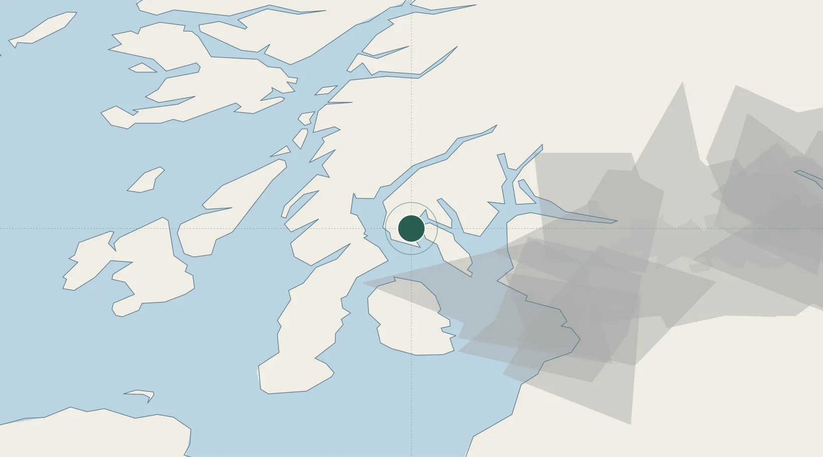
Tighnabruaich
55.9000°, -5.2333°
520
Population
2
Transport functions
Transport Functions
Port
Road
Hub Profile
Place type
Populated place
Region
Scotland
Population
520
Time zone
Europe/London
Elevation
3 m
Location
Nearby Logistics Neighbours
Cities
- 1Kyles of Bute4 km
- 2Rothesay, Isle of Bute6 km
- 3Portavadie6 km
- 4Colintraive7 km
- 5Rhubodach, Isle of Bute7 km
Ports
- 1Rothesay Harbor14 km
- 2Ardrishaig19 km
- 3Largs25 km
- 4Millport26 km
- 5Hunterston28 km
Airports
- 1Glasgow Airport50 km
- 2Campbeltown Airport59 km
- 3Glasgow Prestwick Airport60 km
- 4Oban Airport64 km
- 5Colonsay Airstrip65 km
Trade Zones
DatabookThe Record of Consolidated Knowledge
United Kingdom beyond logistics?