Transport Functions
Port
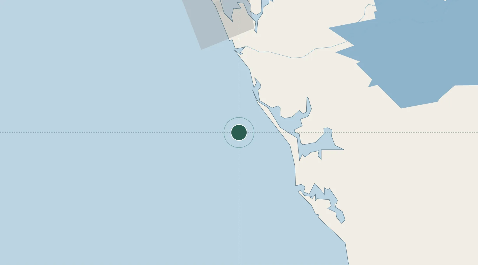
Location
Nearby Logistics Neighbours
Cities
- 1Port Gentil89 km
- 2Equata150 km
- 3Owendo209 km
- 4Libreville213 km
- 5Bata381 km
Ports
- 1Port Gentil90 km
- 2Cap Lopez99 km
- 3Gamba Oil Terminal192 km
- 4Port Owendo209 km
- 5Libreville218 km
Airports
- 1Omboue Hospital Airport41 km
- 2Port Gentil International Airport89 km
- 3Lambarene Airport174 km
- 4Gamba Airport192 km
- 5Libreville Leon M'ba International Airport225 km
Trade Zones
DatabookThe Record of Consolidated Knowledge
Gabon beyond logistics?