UN/LOCODE hub · Gabon
GAPOG
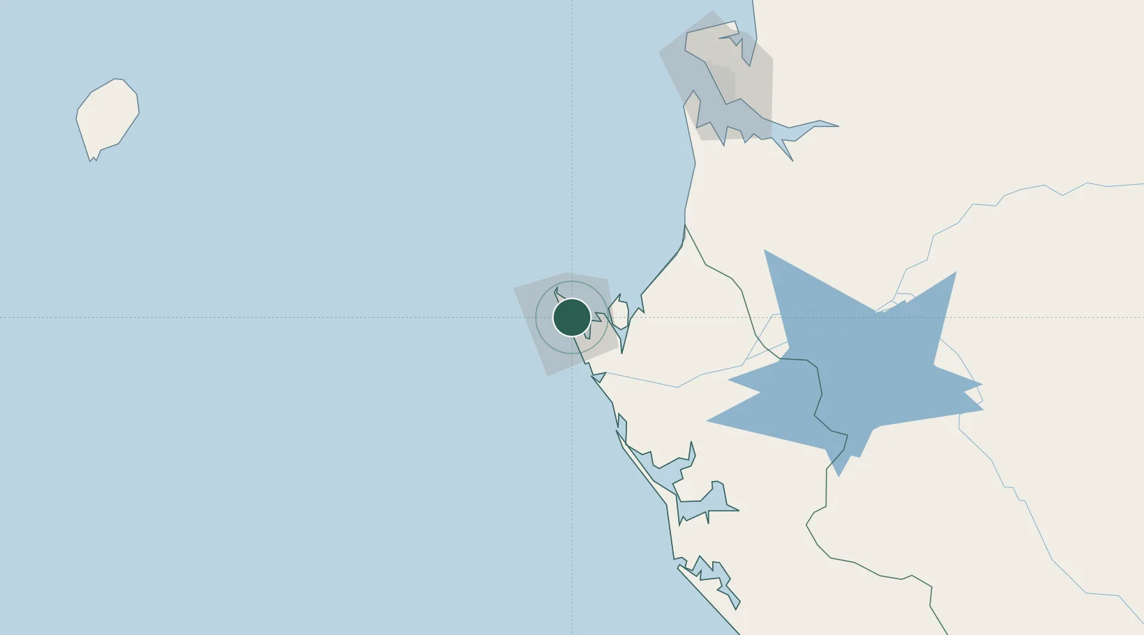
Port Gentil
-0.7050°, 8.7784°
164,018
Population
3
Transport functions
1
Container terminals
Transport Functions
Port
Airport
Postal
Hub Profile
Place type
Regional capital
Region
Ogooué-Maritime
Population
164,018
Time zone
Africa/Libreville
Elevation
4 m
Logistics facilities
2
Container terminals
1
Location
Nearby Logistics Neighbours
Cities
- 1Equata79 km
- 2Oguandjo Terminal89 km
- 3Owendo136 km
- 4Libreville139 km
- 5Bata301 km
Ports
- 1Cap Lopez11 km
- 2Oguendjo Terminal86 km
- 3Port Owendo136 km
- 4Libreville142 km
- 5Cogo224 km
Airports
Trade Zones
DatabookThe Record of Consolidated Knowledge
Gabon beyond logistics?