Transport Functions
Rail
Road
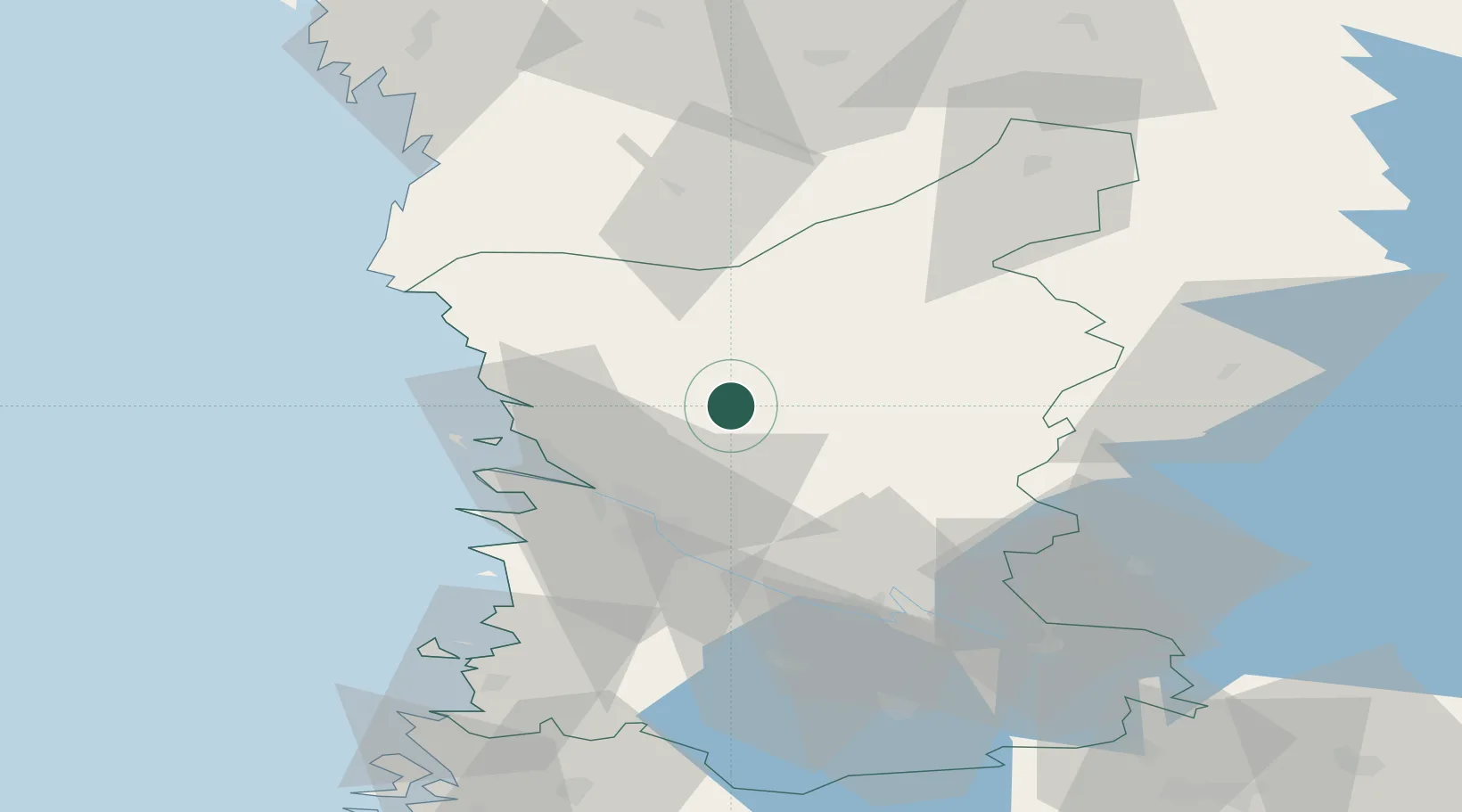
Hub Profile
Place type
District seat
Region
Satakunta
Population
1,921
Time zone
Europe/Helsinki
Elevation
44 m
Location
Nearby Logistics Neighbours
Cities
- 1Björneborg (Pori)26 km
- 2Mäntyluoto30 km
- 3Ulvila30 km
- 4Reposaari31 km
- 5Merikarvia (Sastmola)31 km
Ports
- 1Pori26 km
- 2Mantyluoto30 km
- 3Tahkoluoto33 km
- 4Rauma70 km
- 5Kristinestad72 km
Airports
- 1Pori Airport29 km
- 2Kauhajoki Airfield87 km
- 3Tampere-Pirkkala Airport91 km
- 4Seinäjoki Airport119 km
- 5Turku Airport133 km
Trade Zones
- 1Turku Free Zone140 km
- 2Freeport of Hanko214 km
- 3Paldiski Free Zone287 km
- 4Port of Hamina-Kotka299 km
- 5Muuga Free Zone314 km
DatabookThe Record of Consolidated Knowledge
Finland beyond logistics?