UN/LOCODE hub · Finland
FINAU

Nagu (Nauvo)

60.1833°, 21.9167°
1
Transport functions

Transport Functions

Port
UN/LOCODE

Hub Profile

Region
19
GeoNames

Location

Location of FINAU
Natural Earth 10m (public domain) · 19 · FINAU · 60.18, 21.92GoogleOSMYandex

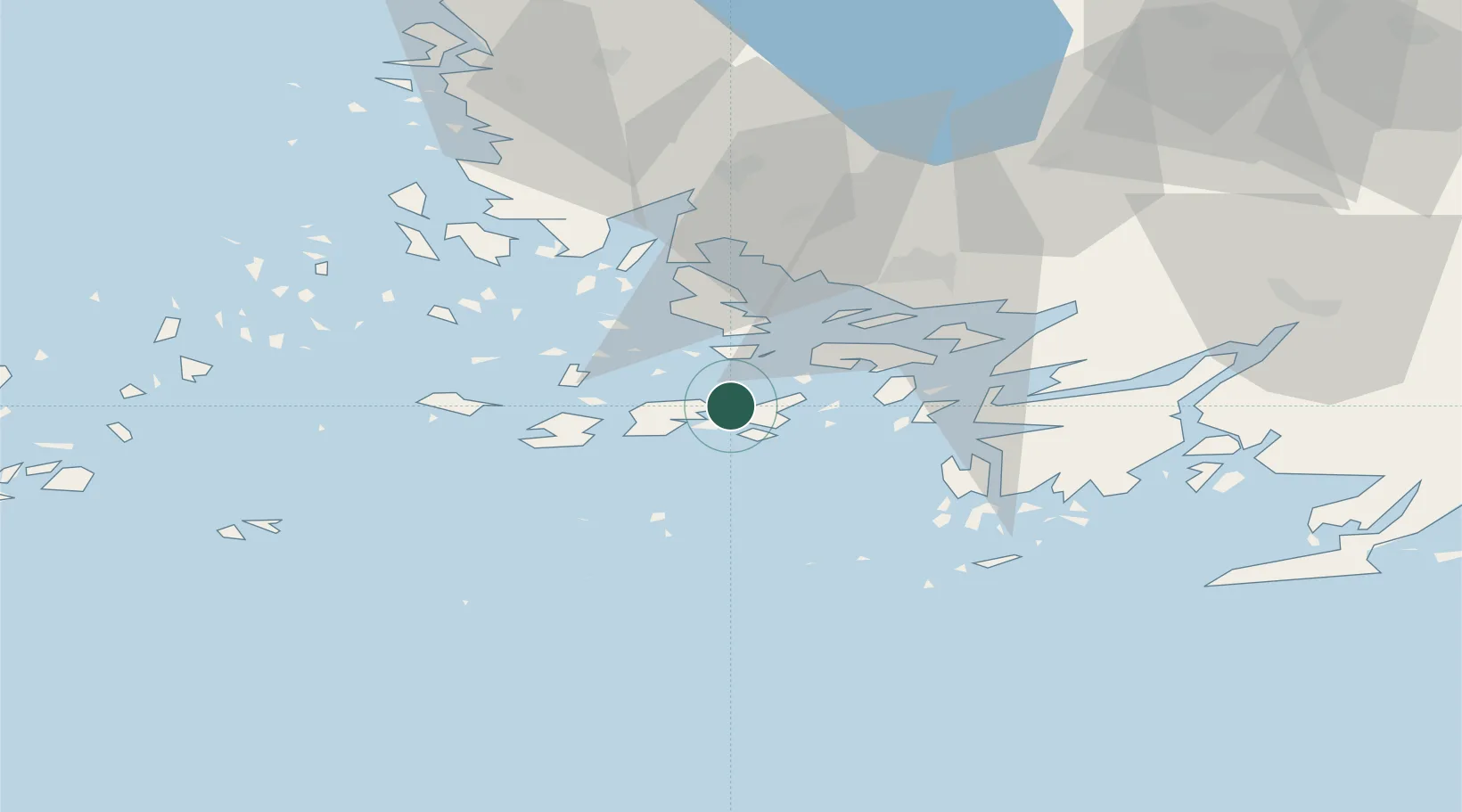
Nearby Logistics Neighbours

Cities
  1. 1Korpo (Korppoo)19 km
  2. 2Rimito (Rymättylä)21 km
  3. 3Tervsund23 km
  4. 4Parainen (Pargas)25 km
  5. 5Houtskär (Houtskari)30 km
Nearest neighbours — logibook spatial index (haversine) over the source coordinates
Ports
  1. 1Pargas14 km
  2. 2Naantali32 km
  3. 3Turku34 km
  4. 4Uto54 km
  5. 5Hanko70 km
Nearest neighbours — logibook spatial index (haversine) over the source coordinates
Airports
  1. 1Turku Airport41 km
  2. 2Mariehamn Airport112 km
  3. 3Kärdla Airport142 km
  4. 4Pori Airport142 km
  5. 5Ämari Air Base164 km
Nearest neighbours — logibook spatial index (haversine) over the source coordinates
Trade Zones
  1. 1Turku Free Zone33 km
  2. 2Freeport of Hanko67 km
  3. 3Paldiski Free Zone153 km
  4. 4Muuga Free Zone200 km
  5. 5Stockholm Free Zone232 km
Nearest neighbours — logibook spatial index (haversine) over the source coordinates
DatabookThe Record of Consolidated Knowledge
Finland beyond logistics?
Browse databook

All Sources

LocationsUN/LOCODE
UN/LOCODE — free
Portsthe NGA World Port Index
Public domain (US gov)
AirportsOurAirports
Public domain
Trade Zonesthe World Bank SEZ database
CC BY 4.0
Trade ZonesOpen Zone Map
CC BY
← Finland locations